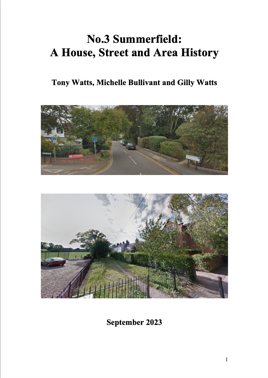
No.3 Summerfield: A House, Street & Area History, Newnham, Cambridge. Watts, Bullivant & Watts.
This 86-page report comprises:
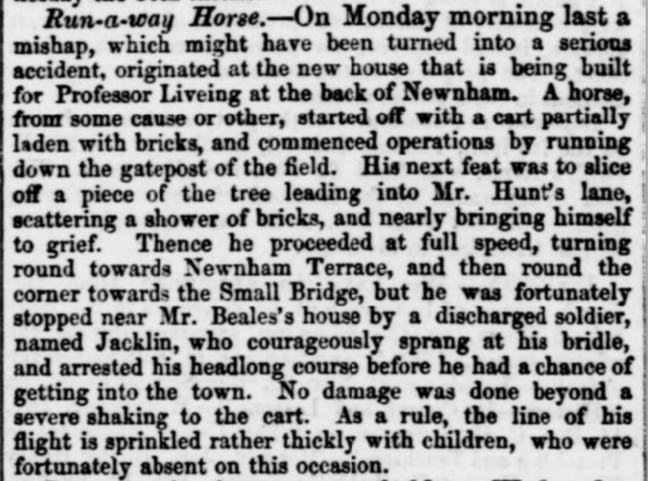
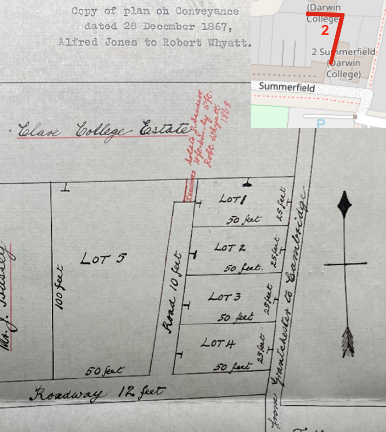
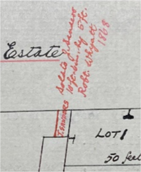
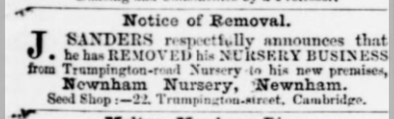
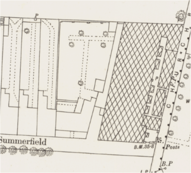
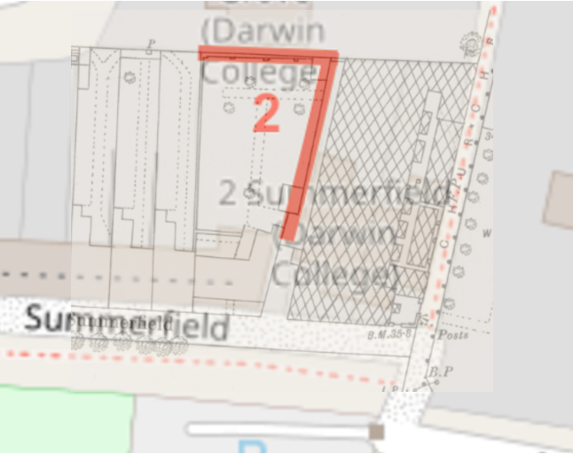
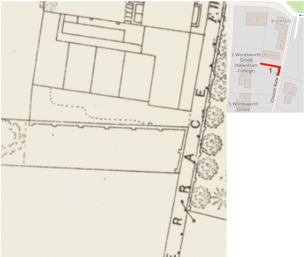
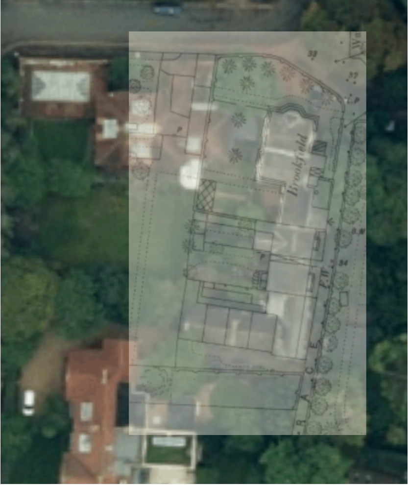
For me, one of the most exciting things to have come out of the research that we have done for this report on the history of No.3 Summerfield is the rediscovery of one of Cambridge’s Victorian commercial plant and seed nurseries, the ‘Newnham Nursery’ which lay at the eastern corner of what was to later become Summerfield, and which was owned and ran by Mr James Sanders, who had his seed & florist shop on Trumpington Street and also Market Street in Cambridge. In later years, after the death of James Sanders, it became ‘Sanders’ Seed shop in Regent Street.
You can read more about this in the Summerfield report. The full research and history of Newnham Nursery along with several other Nurseries west of Cambridge town is forthcoming in: Cultivating Roots: A Historical Exploration of Commercial Horticultural Nurseries in Newnham Cambridge (1820 onwards), M Bullivant
Below you will find a picture of the front cover of our Summerfield report and the Preface which tells you a little more about how this report came about and what to expect from it.
You can download your own PDF copy of the full report below by clicking on the 'Download File' button, or for free from the 'Downloads Shop' - see main menu above, or a hard-copy version is available, price £10, from: [email protected]
Preface (by Tony Watts)
This report started as a little acorn, which has grown into a rather sprawling tree. The acorn was Gilly’s interest in deconstructing the history of houses. She had developed this through a series of classes she had attended at St Mark’s Community Centre in Barton Road. The classes were run by Mac Dowdy, an architectural historian who was a Fellow of Wolfson College. He wrote a book[1] linked to a BBC TV series The House Detectives. He recruited Gilly and her friend Mary Lockwood (also in Mac’s class) to be, in effect, unpaid research assistants on some of his various projects. Gilly loved this opportunity for what Tony provocatively termed a “licensed snoop” into interesting old houses, and learned much from it. We thought it might be interesting to apply her new skills to our own modest house, No.3 Summerfield, and to use Tony’s interest in social history to add what we could find on the people who had lived in it. We then thought that this might be extended to look at Summerfield as a whole, and to discover what we could about how it had developed and all the people who had lived there. There is a growing interest in street histories. The Rolls-Royce of such histories in Cambridge is of Chaucer and Latham Roads by Jane Renfrew et al.: meticulously researched, skilfully edited, and lavishly published.[2] We do not aspire to emulate this quality. We feel, however, that the way we have approached our task is sufficient for our purposes. As a further extension, we finally decided to seek to place the development of Summerfield in the context of Newnham in general and of our neighbouring paths and roads – now known as Old Newnham – in particular. To do this, we have drawn upon the help of Michelle Bullivant, a local landscape archaeologist. Michelle had produced an excellent history of Lammas Land for the City Council[3] and is extending this to a more definitive history of Newnham as a whole than has been produced to date. We hope that her involvement in our project will provide a stepping-stone in that direction, and that she might then be able to resolve the remaining open questions that she has helped us to identify in Section 4. Meanwhile, we have benefitted greatly from Michelle’s knowledge, research skills and enthusiasm, and have been delighted to have her as our co-author. The extension to Old Newnham has brought within our scope some quite famous people who have lived in the area, including Friedrich Hayek (para.2.10), Ludwig Wittgenstein (para.2.15) and Stephen Hawking (para.2.43). The report is intended to be readable as a narrative, but is also designed as a document of record. We have accordingly made extensive use of footnotes not only to indicate our sources, but also to present a lot of additional factual material that is worthy of note. We hope that this layering of the text will help to achieve our dual aims. Our thanks are due to the many people who have helped us with our explorations, answering our e-mails and engaging in conversations with us. In particular, we wish to express our gratitude to Lucy Adrian, Michael Briant, Michael Nedo and Gillian Moore, David and Janet Owers, Brenda Pryor, Pamela Raspe, Jane and Peter Singleton, Sophie Smiley, Bob and Katharine Whitaker, and Nigel Woodcock. We are also indebted to the archivists of Clare, Corpus Christi, Gonville & Caius, Newnham, St Catharine’s and St John’s Colleges and of the Cambridgeshire Collection in Cambridge and Cambridgeshire Archives in Ely, as well as to the staff of the invaluable Cambridge University Library Map Room. We are conscious that the outcome of our work is somewhat uneven, and probably of interest to a diminishing audience as its focus narrows. It betrays its origins as a document initially intended for private consumption only. We now hope, however, that some others will feel that at least parts of it merit their attention. [1] Mac Dowdy, Judith Miller & David Austin (1997). Be Your Own House Detective. London: BBC Books. [2] Jane M. Renfrew, Marcus A. Renfrew & John K. Rose (1996). Rus in Urbe. Cambridge: Solachra. Jane Renfrew is a distinguished archaeologist: https://en.wikipedia.org/wiki/Jane_Renfrew [3] Michelle Bullivant (2021): History of Lammas Land, Newnham, Cambridge (Newnham Park).(https://www.michellebullivant.com/cambridgeshirehistory/history-of-lammas-land-newnham-cambridge-newnham-park#/)
You can download your own PDF copy of the full report for free by clicking on the 'Download File' link above or from the 'Downloads Shop' - see main menu above or a hard-copy version is available, price £10, from: [email protected]
If you'd like to support the work that I do and the archive, why not buy me a virtual coffee or make a one-off donation at PayPal, I'd be really grateful and it will help keep me going!
Just click on either of the buttons below :)
0 Comments
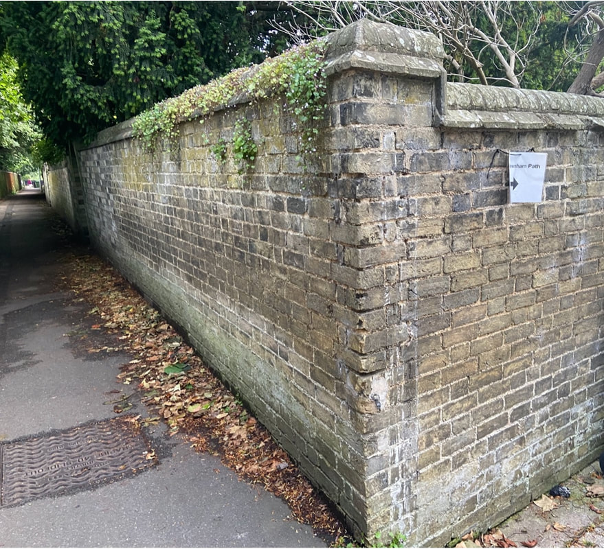
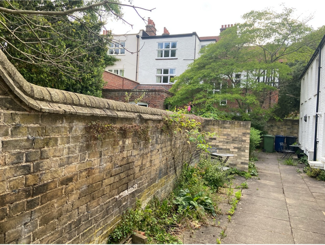
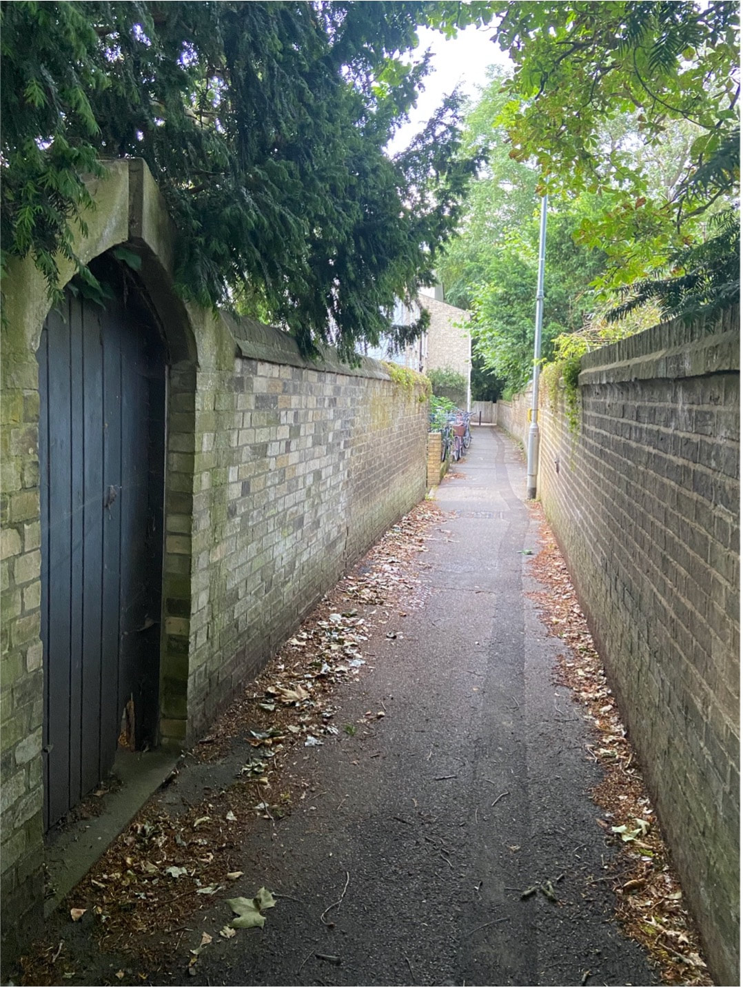
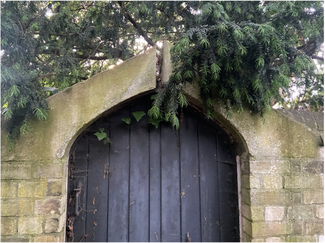
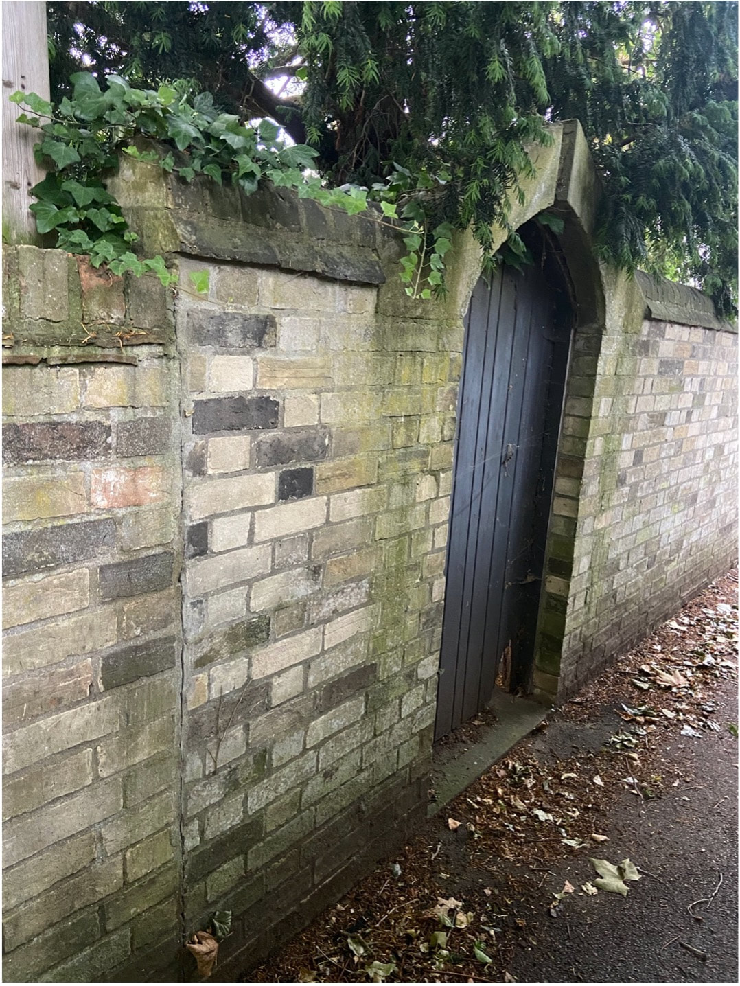
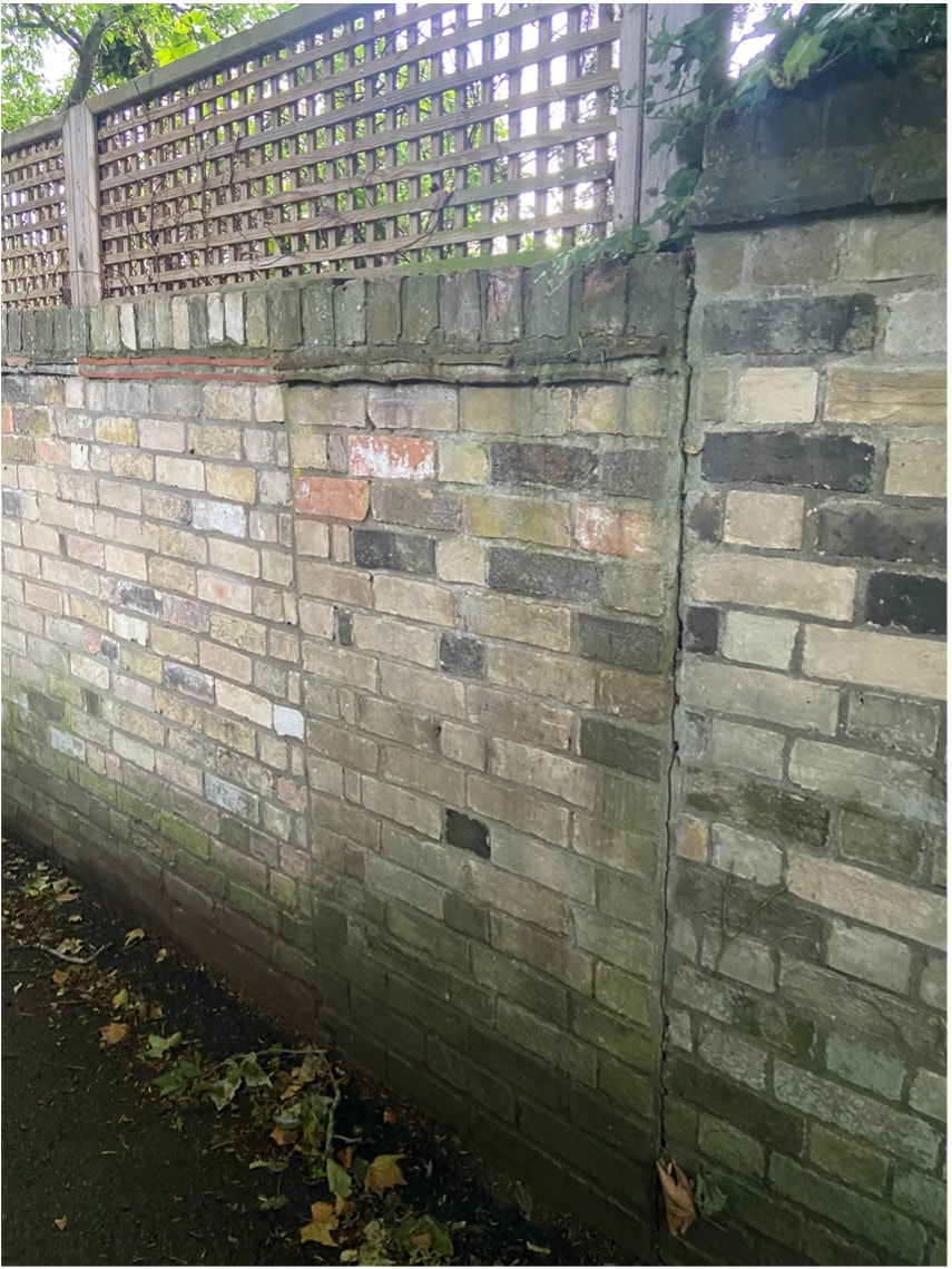
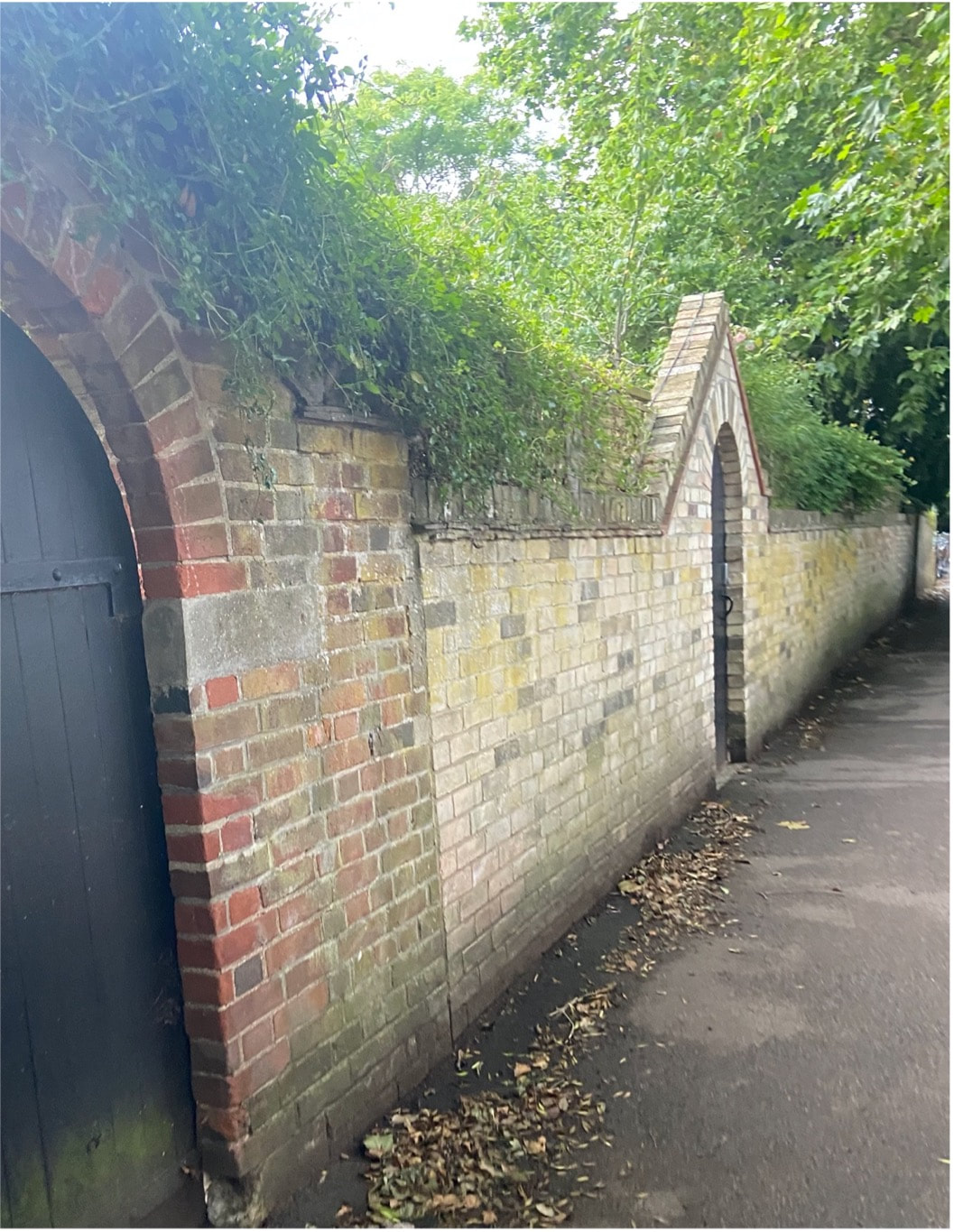
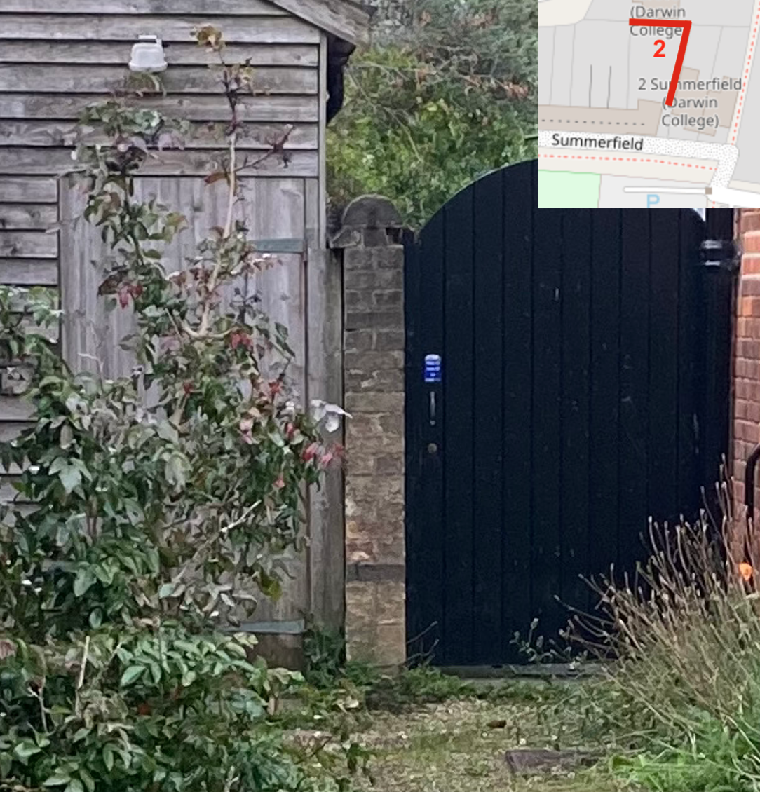
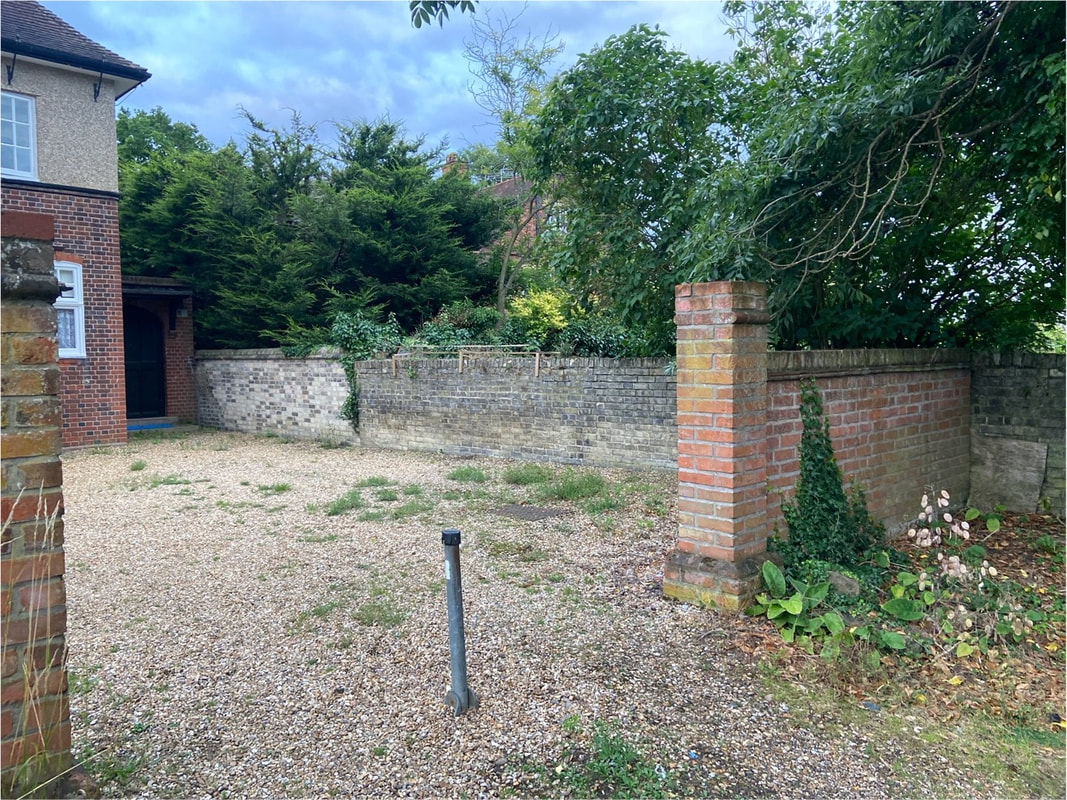
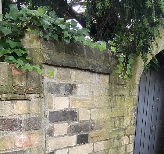
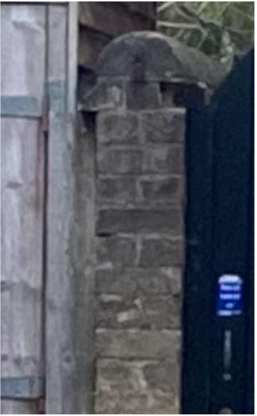
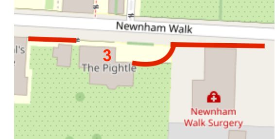
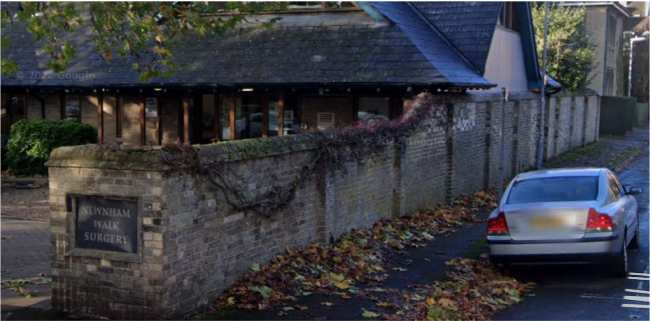
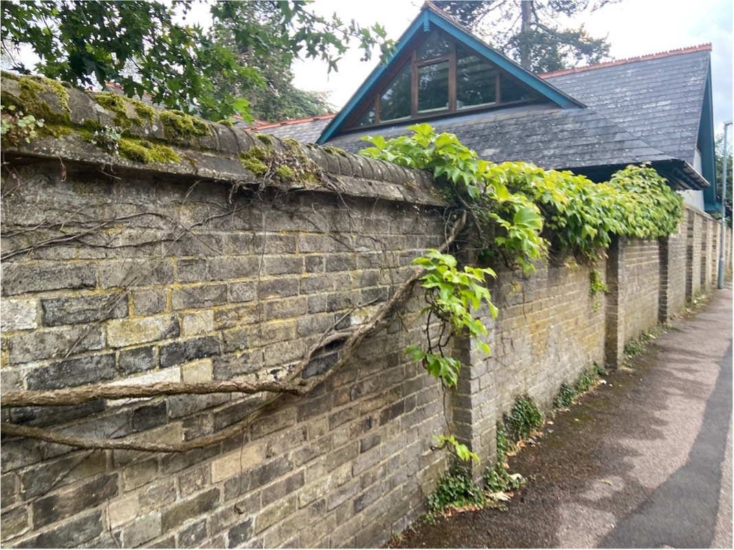
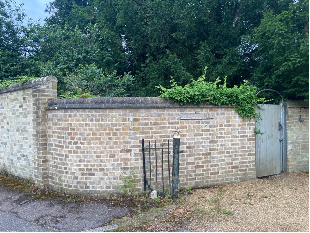
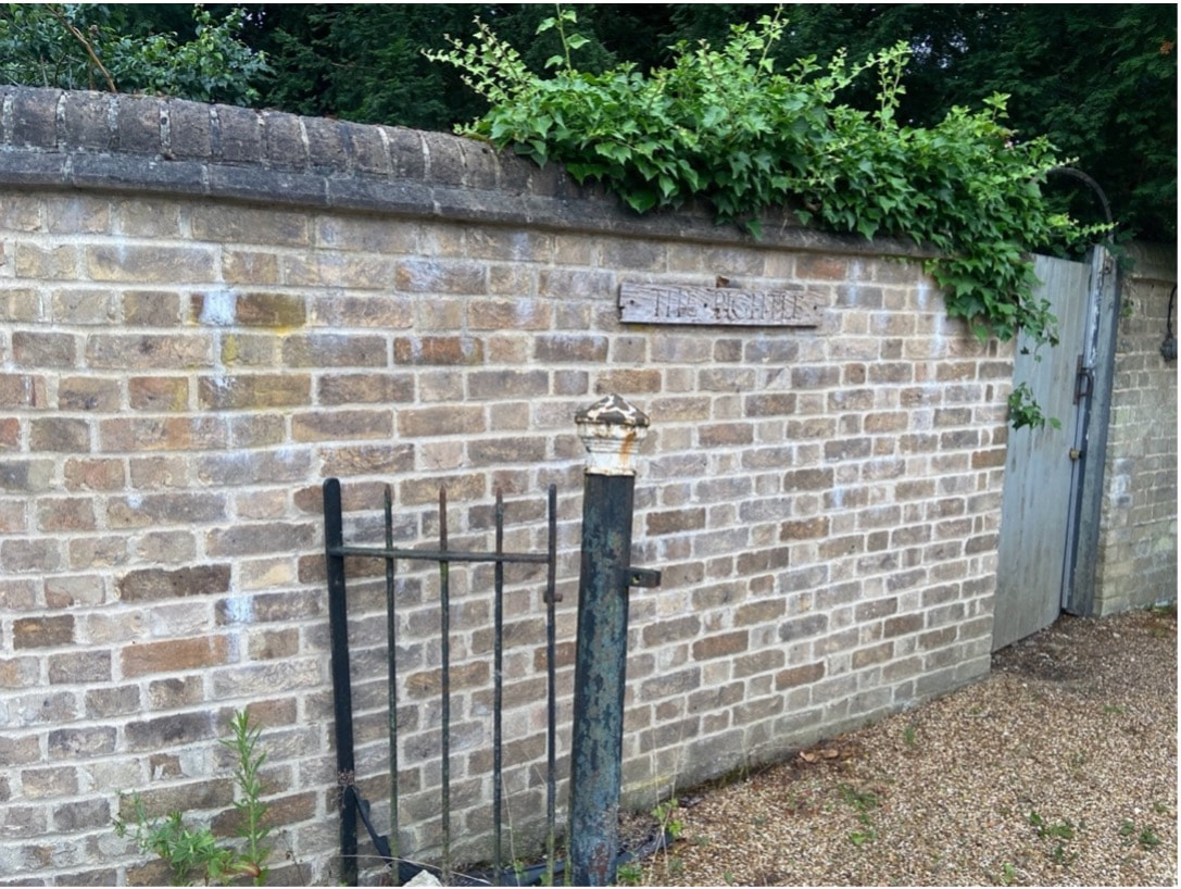
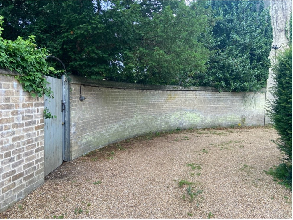
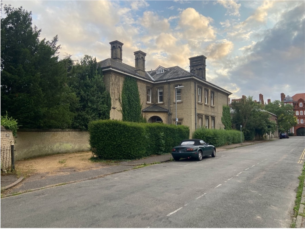
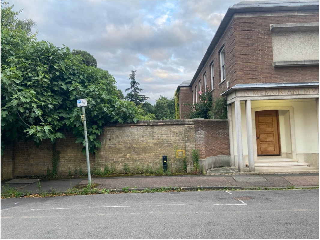
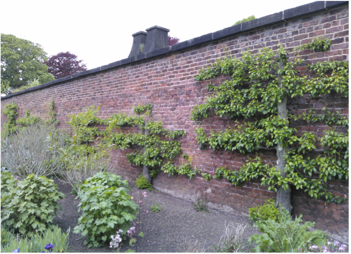
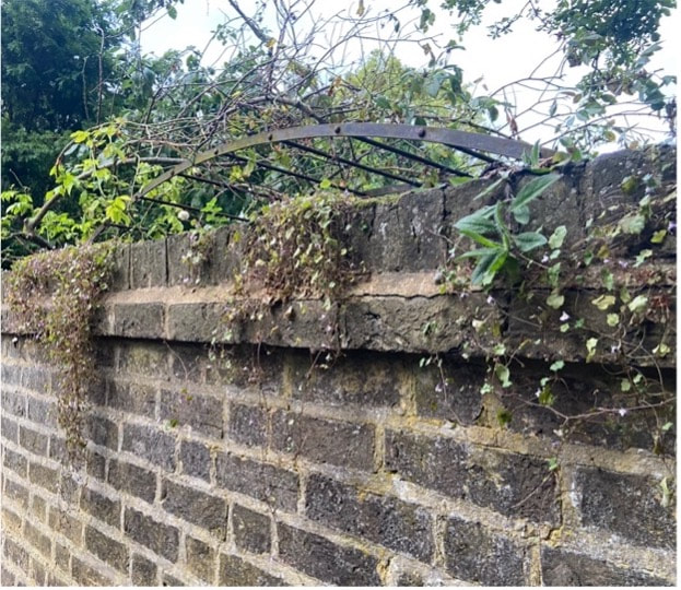
Newnham Walls (Newnham, Cambridge)
|
|||