The History of Giants Grave / Spring Head Cherry Hinton
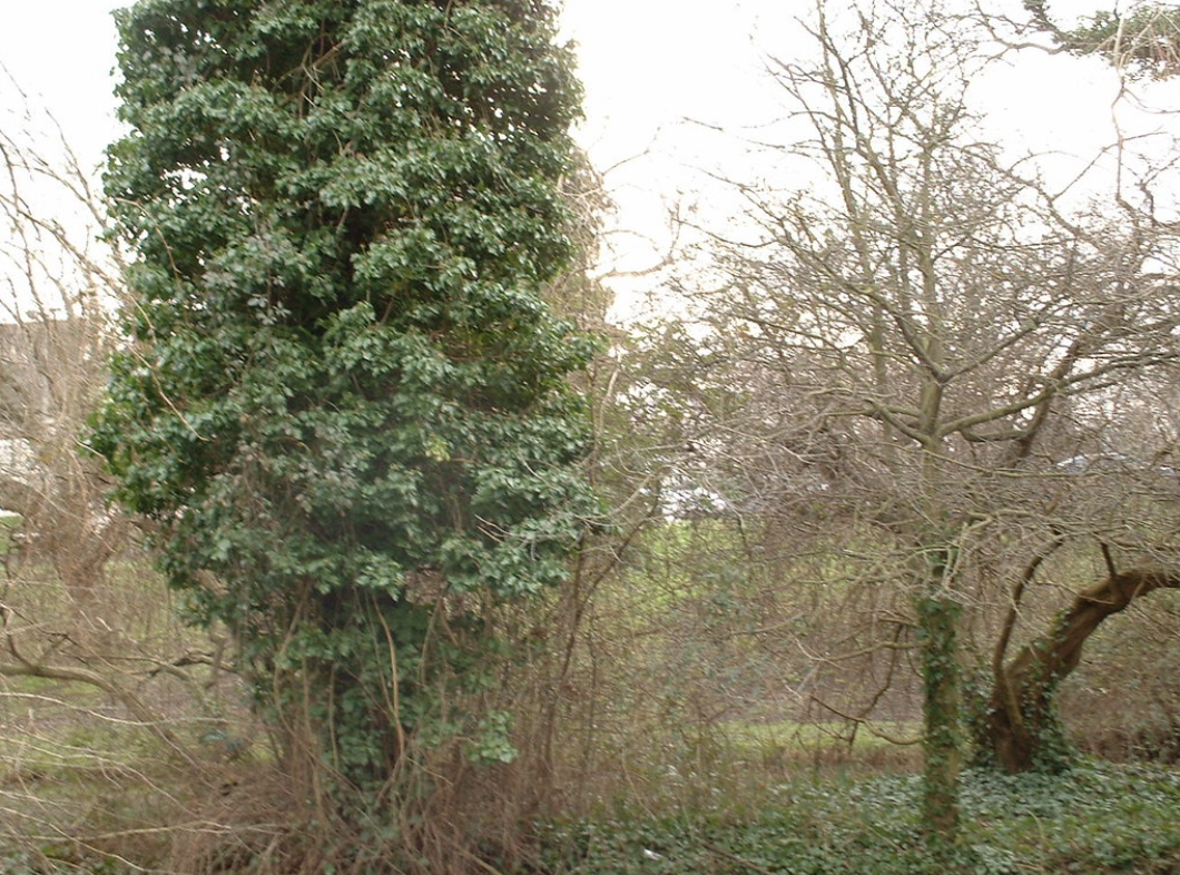
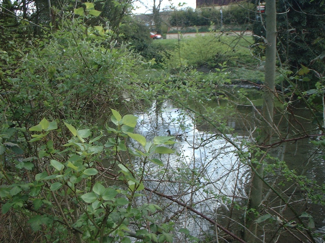
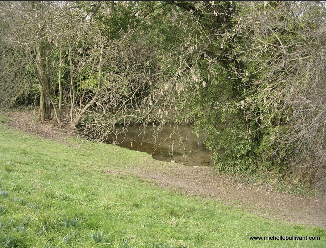
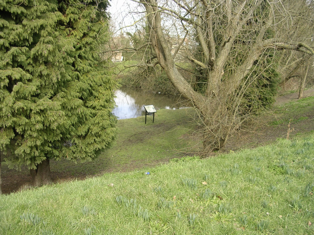
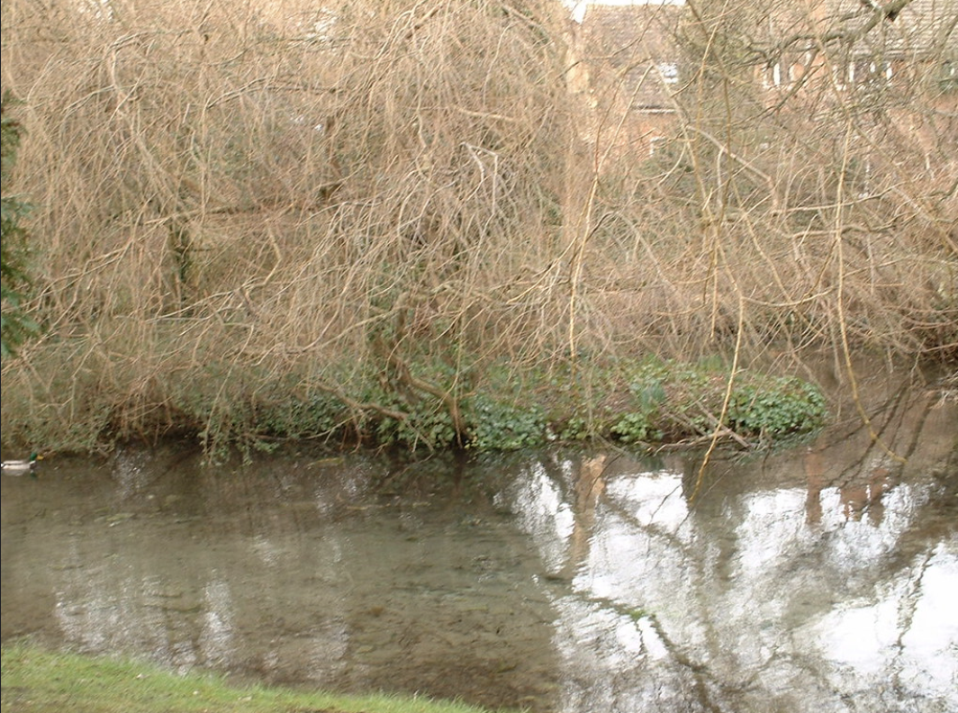
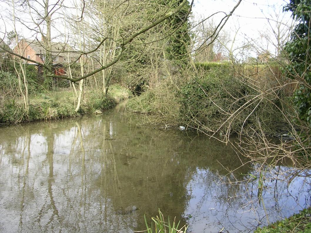
Spring Head / Giants Grave Cherry Hinton (c.2004 M Bullivant)
I am currently writing an updated and further researched history of Giants Grave / Spring Head Cherry Hinton. But whilst that is being done, and before I add that here, I thought that those of you who are interested might like to see the work that I have been involved in at the site so far over the years.
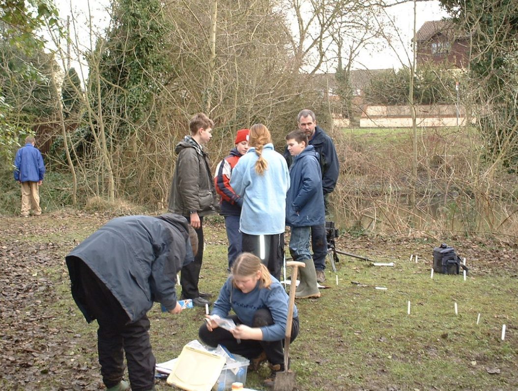
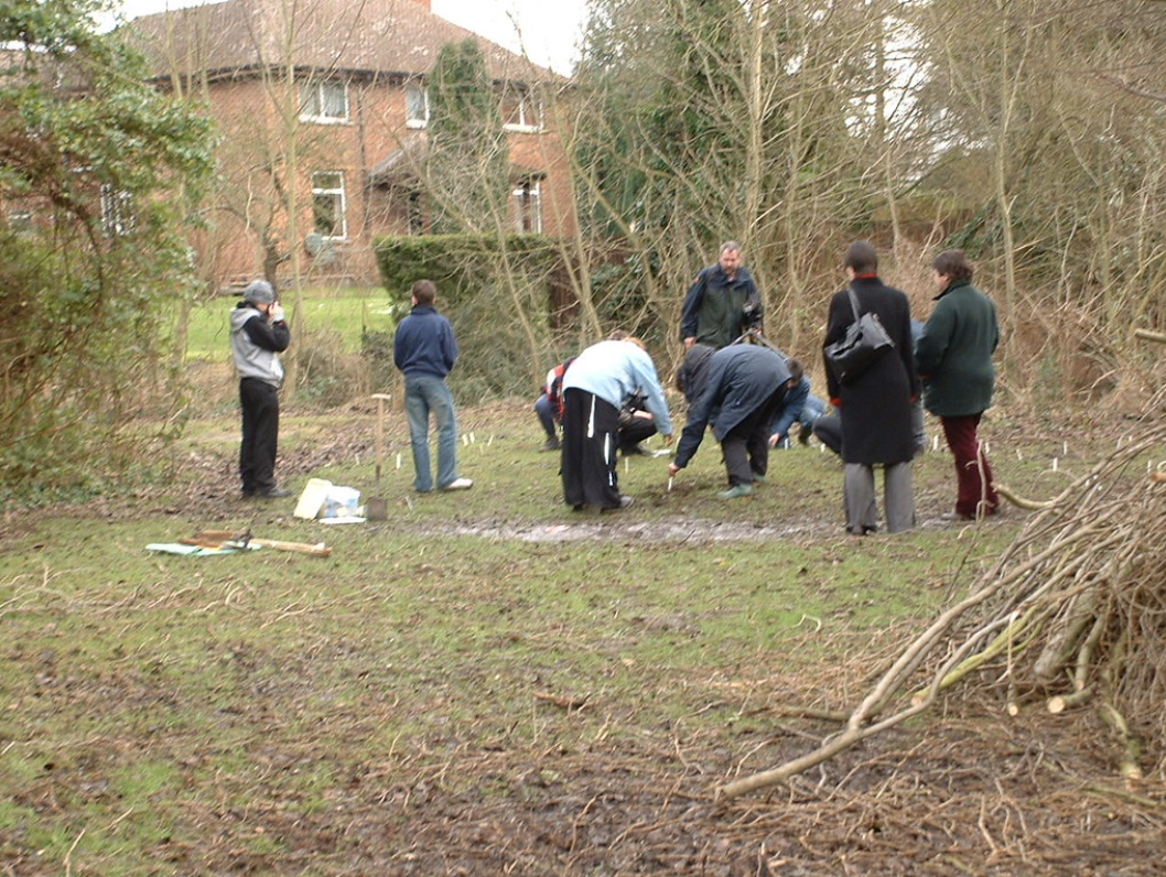
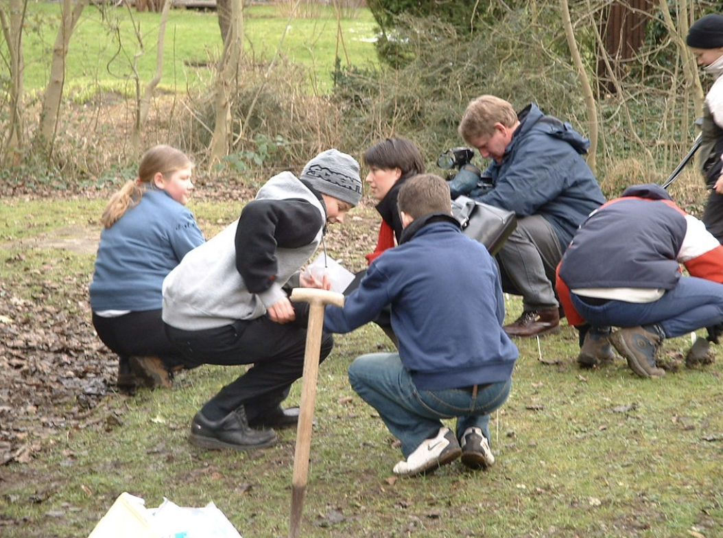
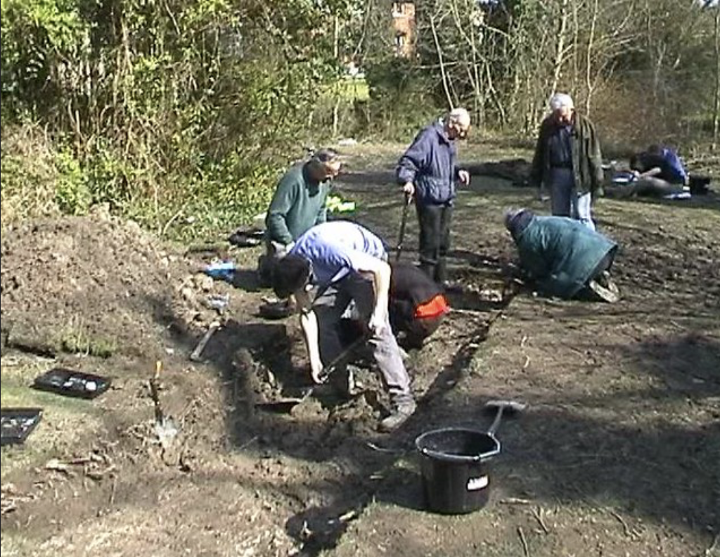
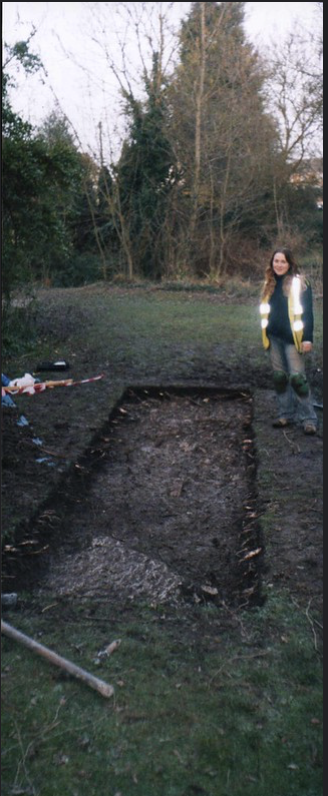
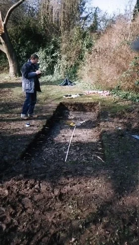
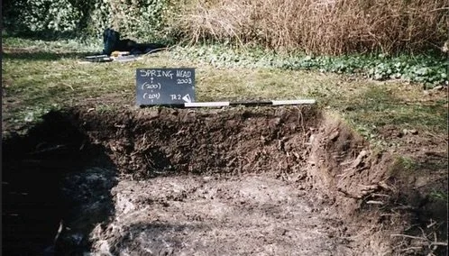
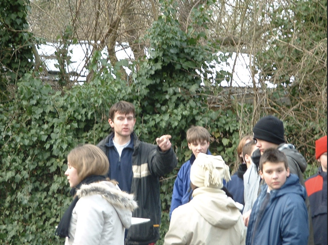
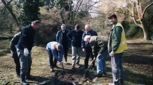
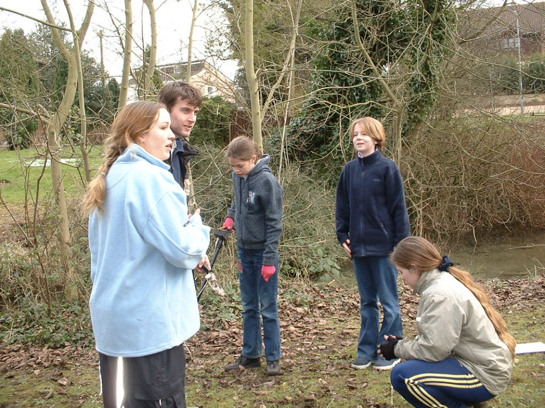
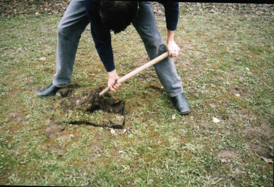
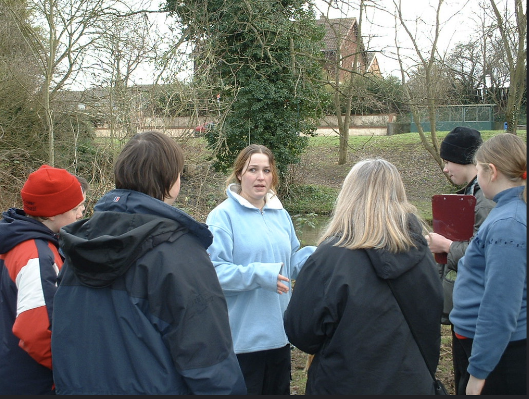
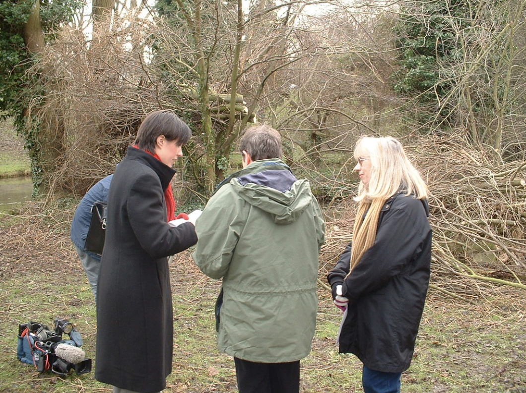
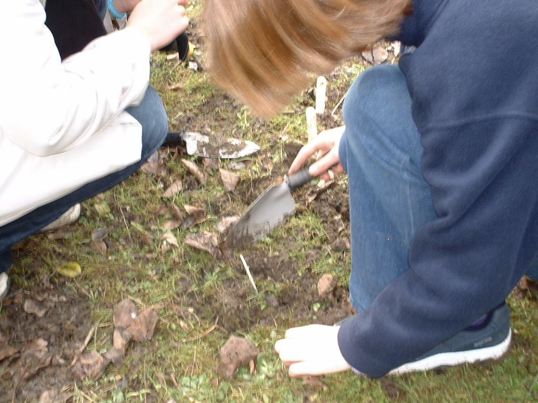
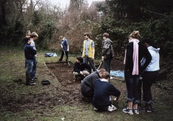
This includes a historical and archaeological investigation which took place at Spring Head in 2003 where Graeme Clarke and I worked with students from St Bede’s School and the lovely Ann Sanderson to carry out some excavations at the site, along with some historical research which then resulted in 2 reports (which I will add the PDF’s for you to download and read below), a Giants Grave Leaflet (I will add this below for you) and a public information board which was put by the spring pool.
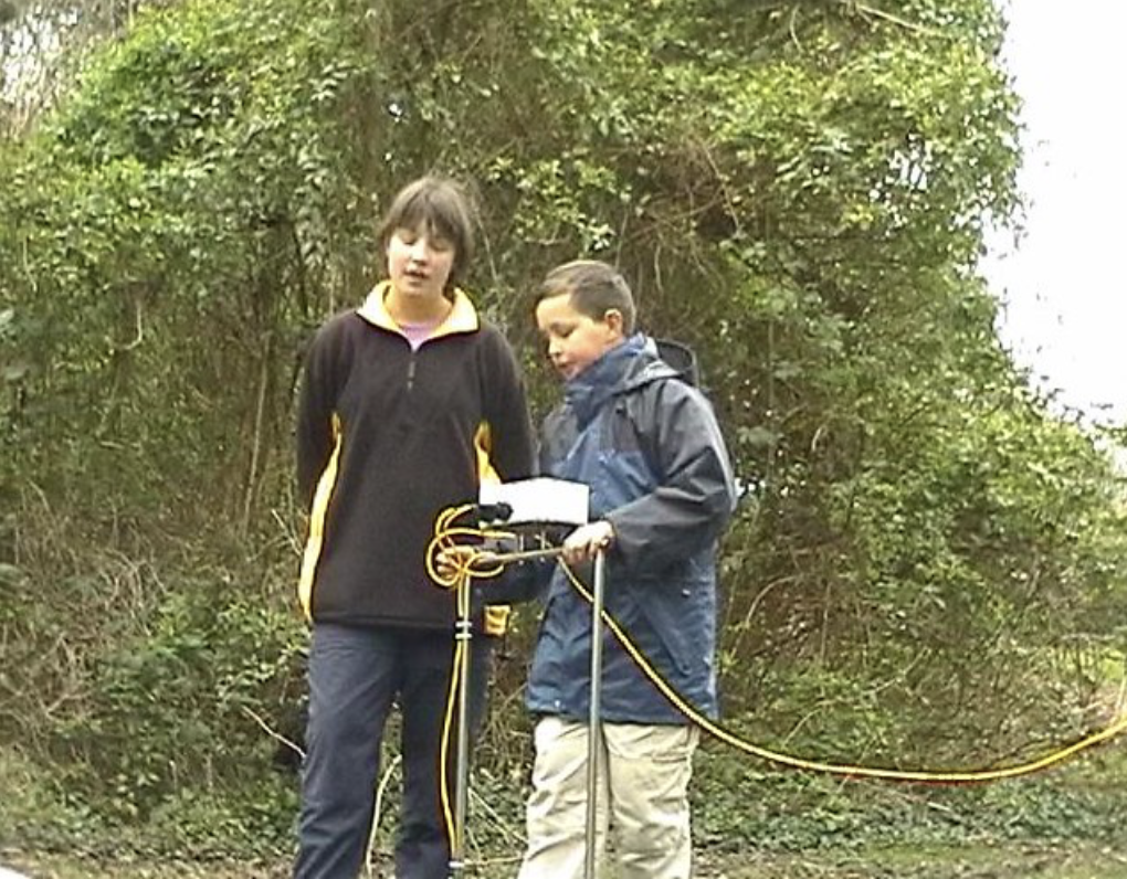
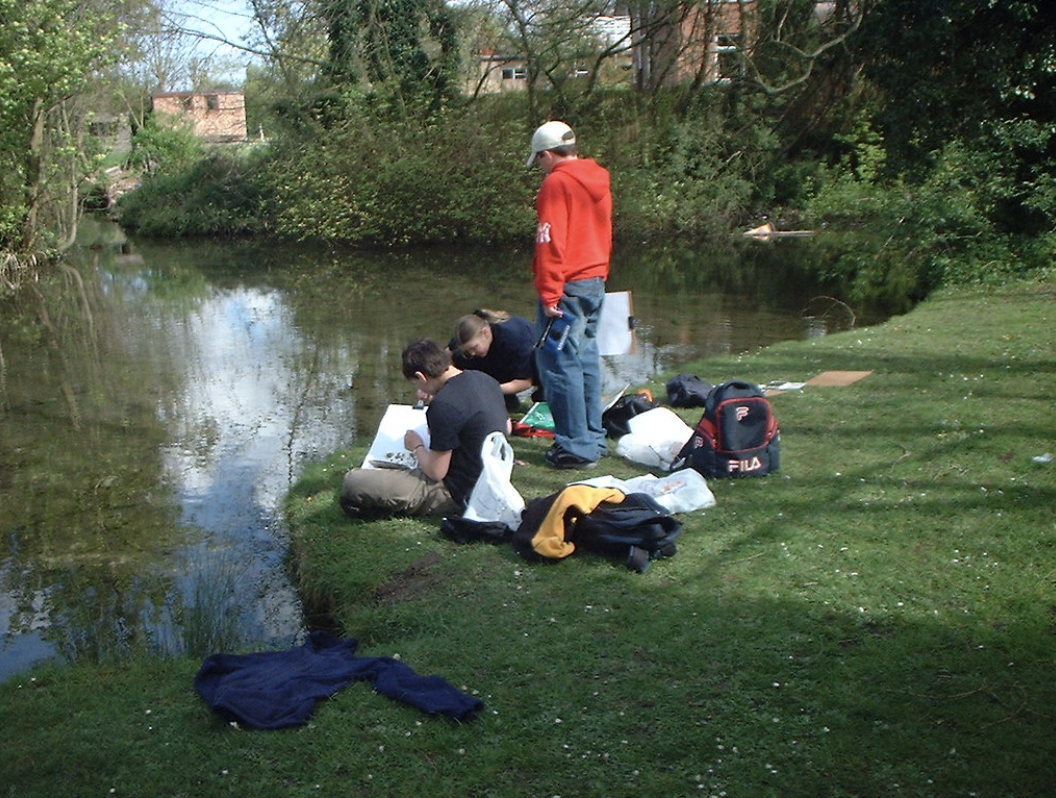
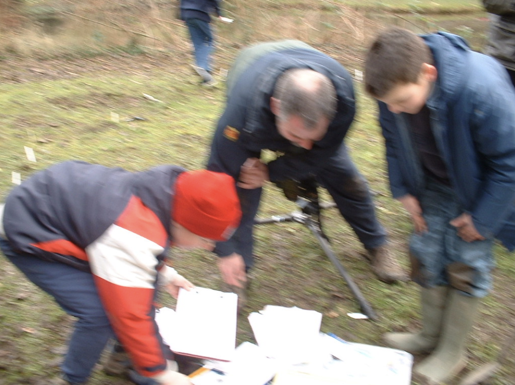
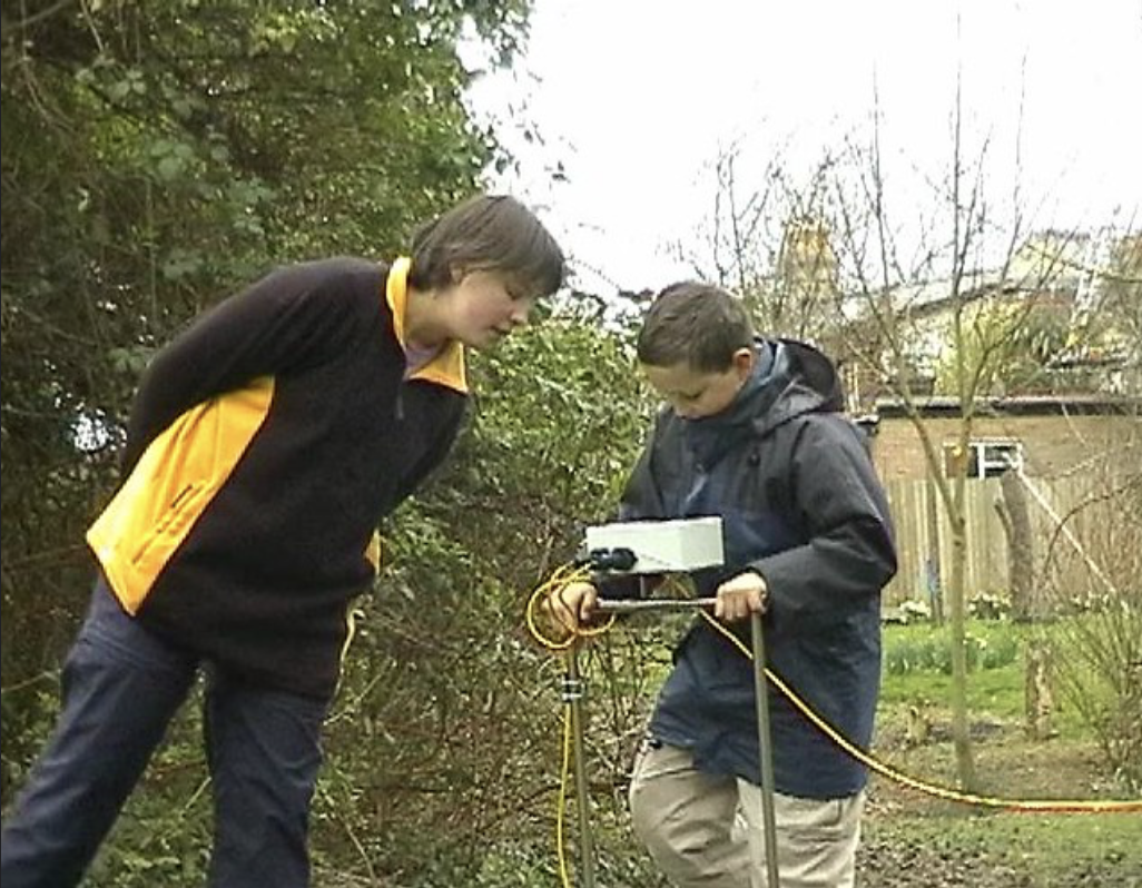
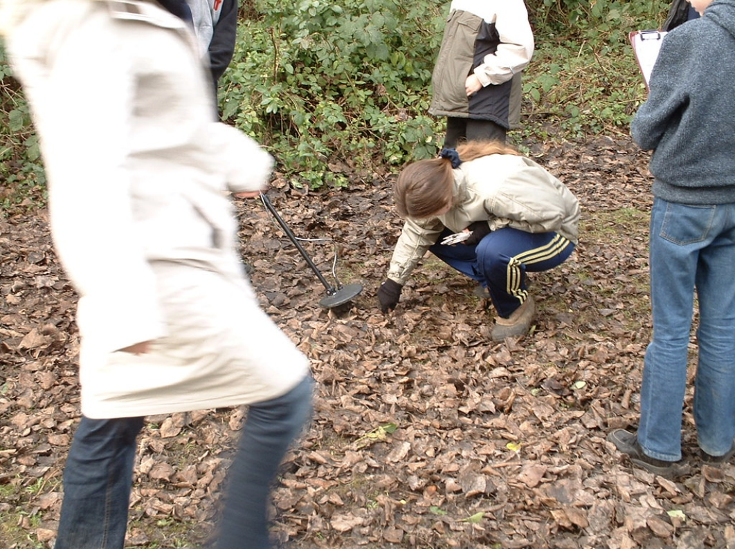
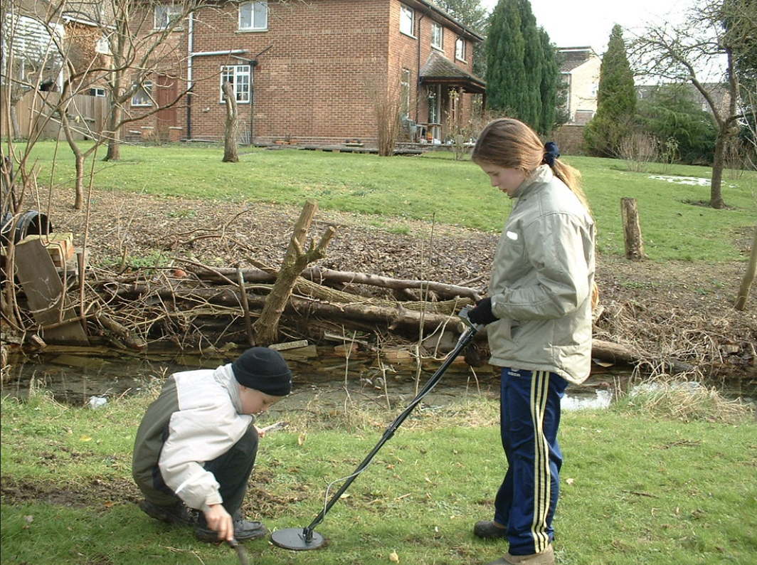
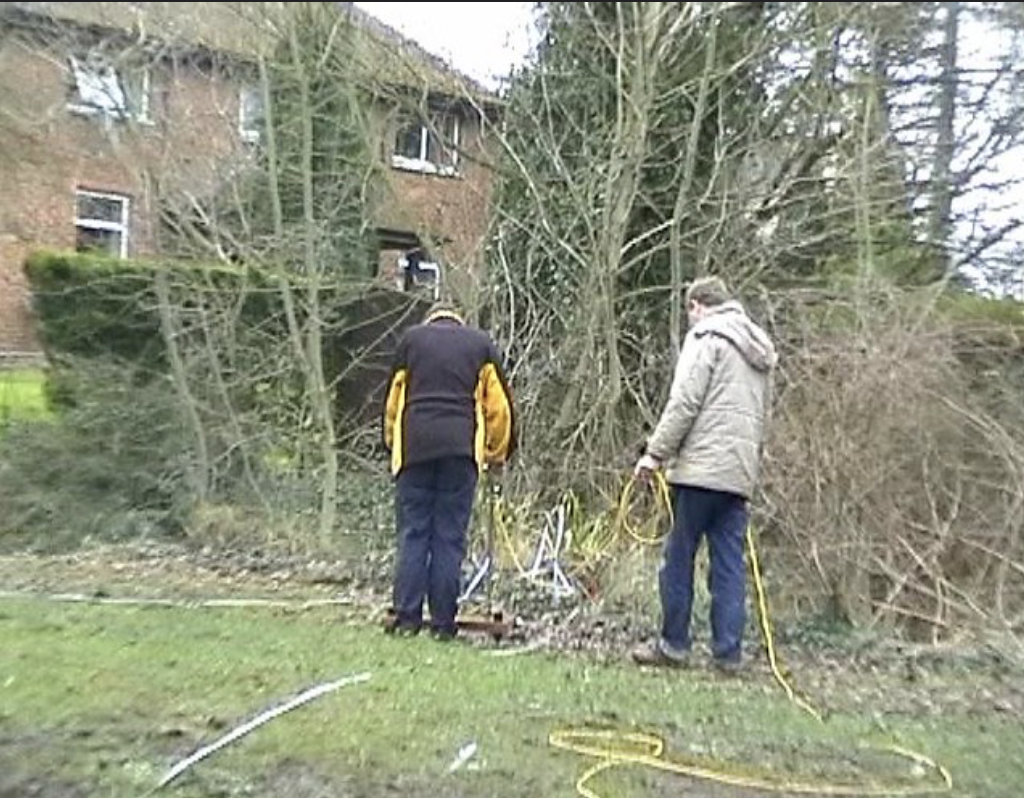
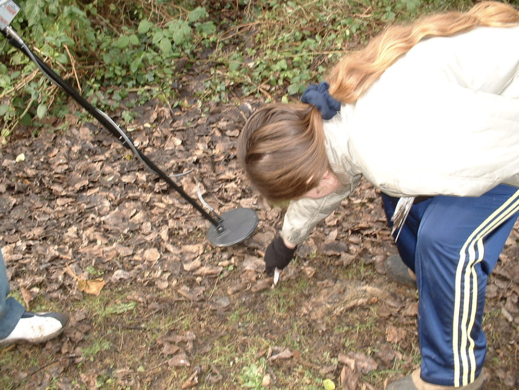
We also carried out earthwork surveying, metal detecting at the site, and resistivity survery was done by the Archaeology Rheesearch Group
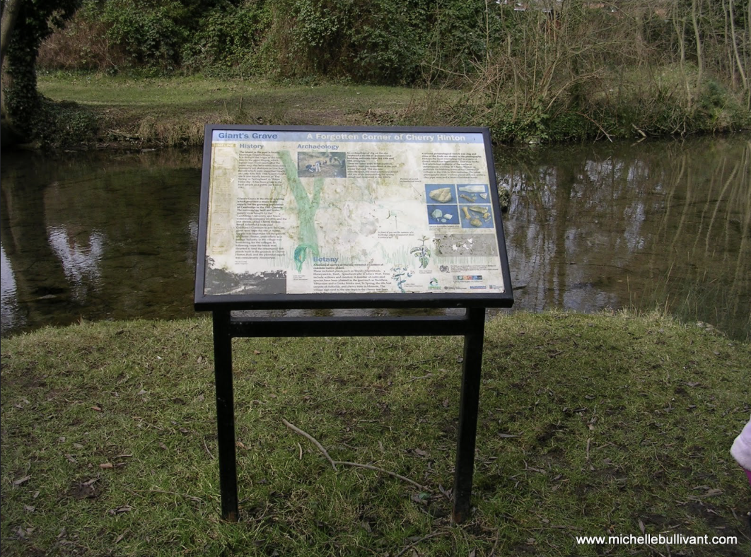
The original Giants Grave information board that stood by the spring pool from 2003 to c.2022.
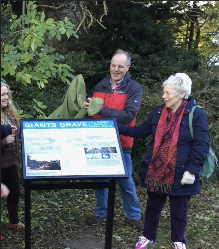
Years later we had a new board designed and moved to street level, as the original board had decayed.
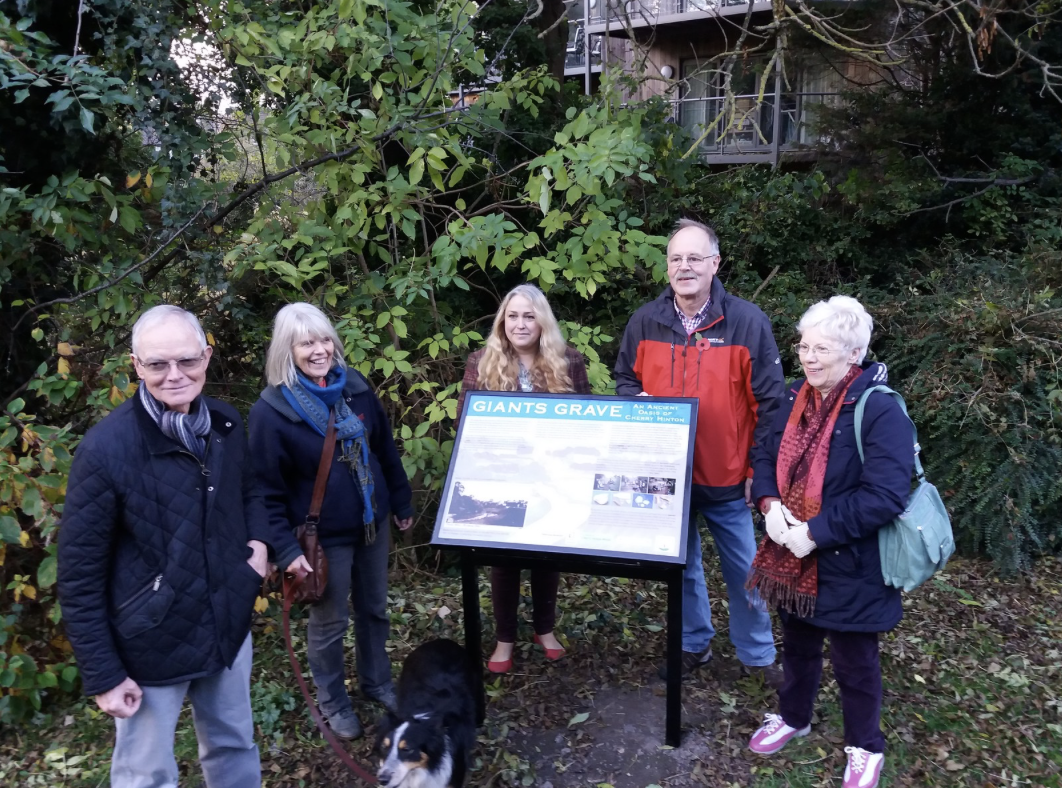
The current Giants Grave information board.
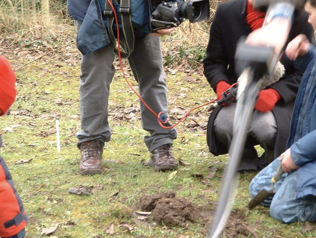
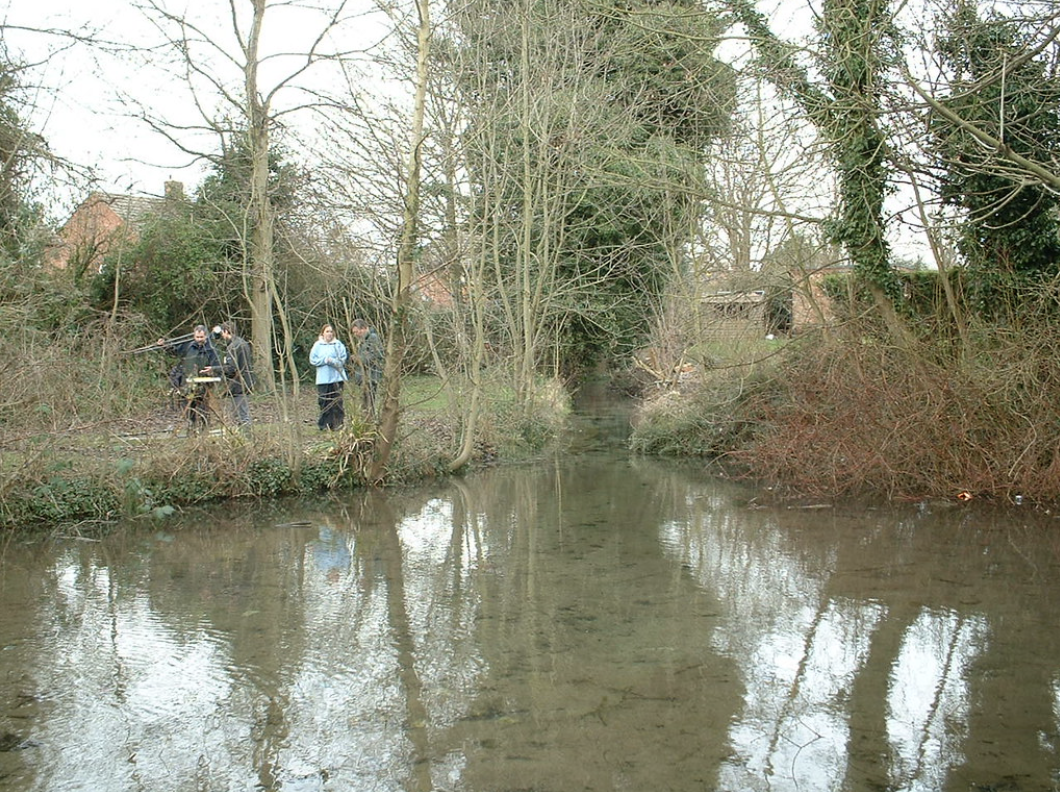
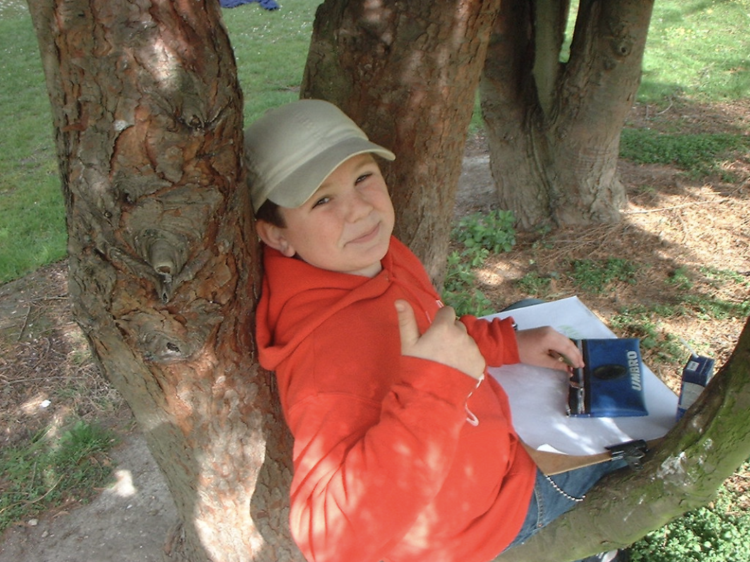
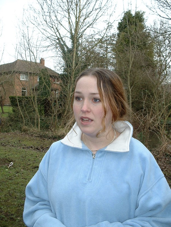
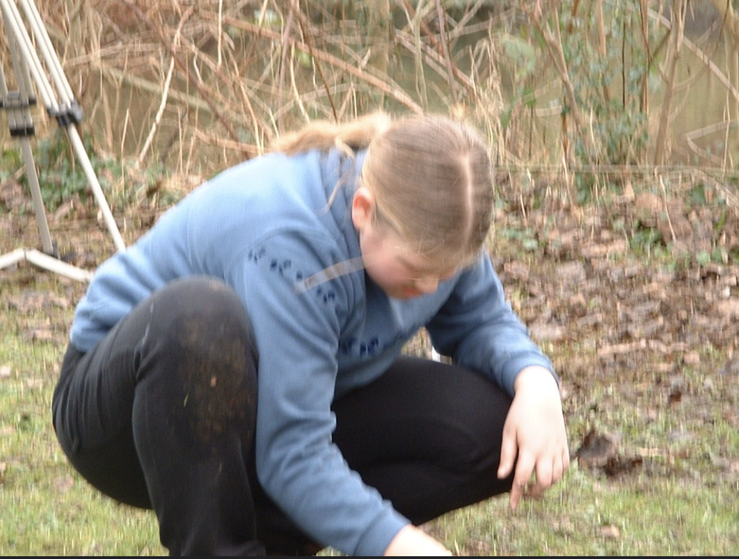
I will also add a gallery of photographs from the excavation in 2003 and various other pictures below. Please do comment below if you were one of the children/people who took part in the digs and would like to share your memories. Equally, if any of you would like to share any memories or further information about Spring Head please do share via the comments box at the bottom of this page.
First things first though, is to give the location for those of you that are not familiar with this special place, so that you may visit the site.
Location
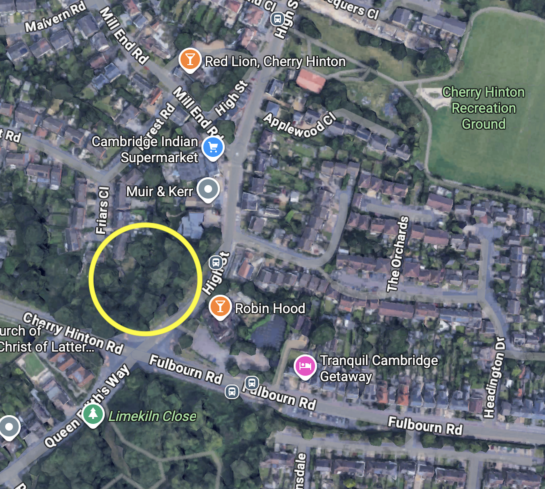
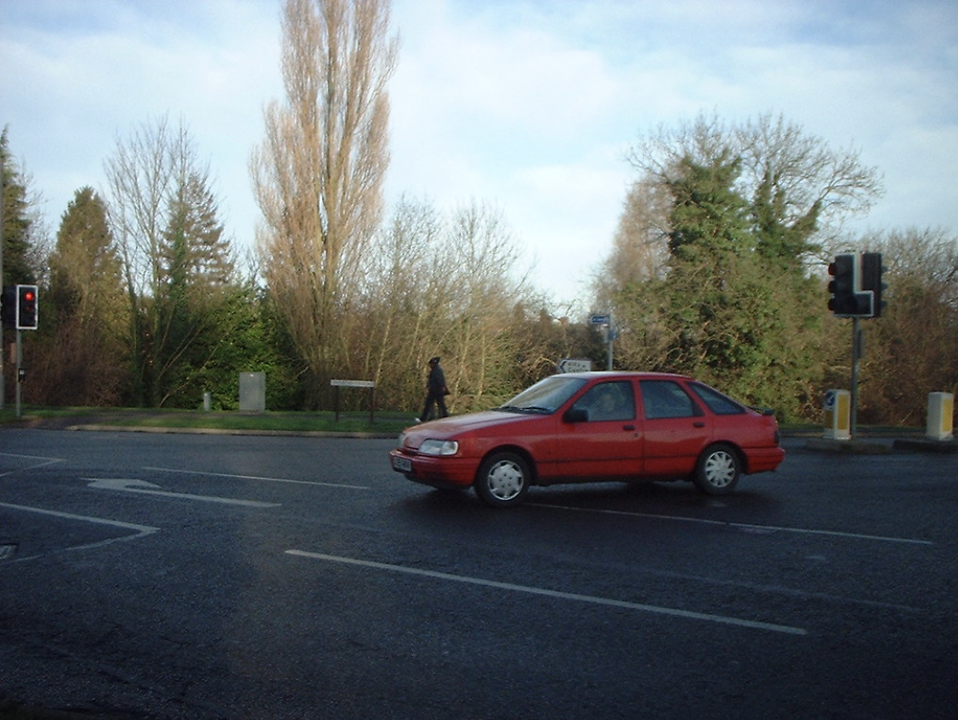
Spring Head / Giants Grave sits at the southern end of Cherry Hinton village at the crossroads of Cherry Hinton High Street, Fulbourn Road, Cherry Hinton Road and Queen Edith’s Way. It is opposite the Robin Hood Pub.
What Three Words: ///enable.funny.foil
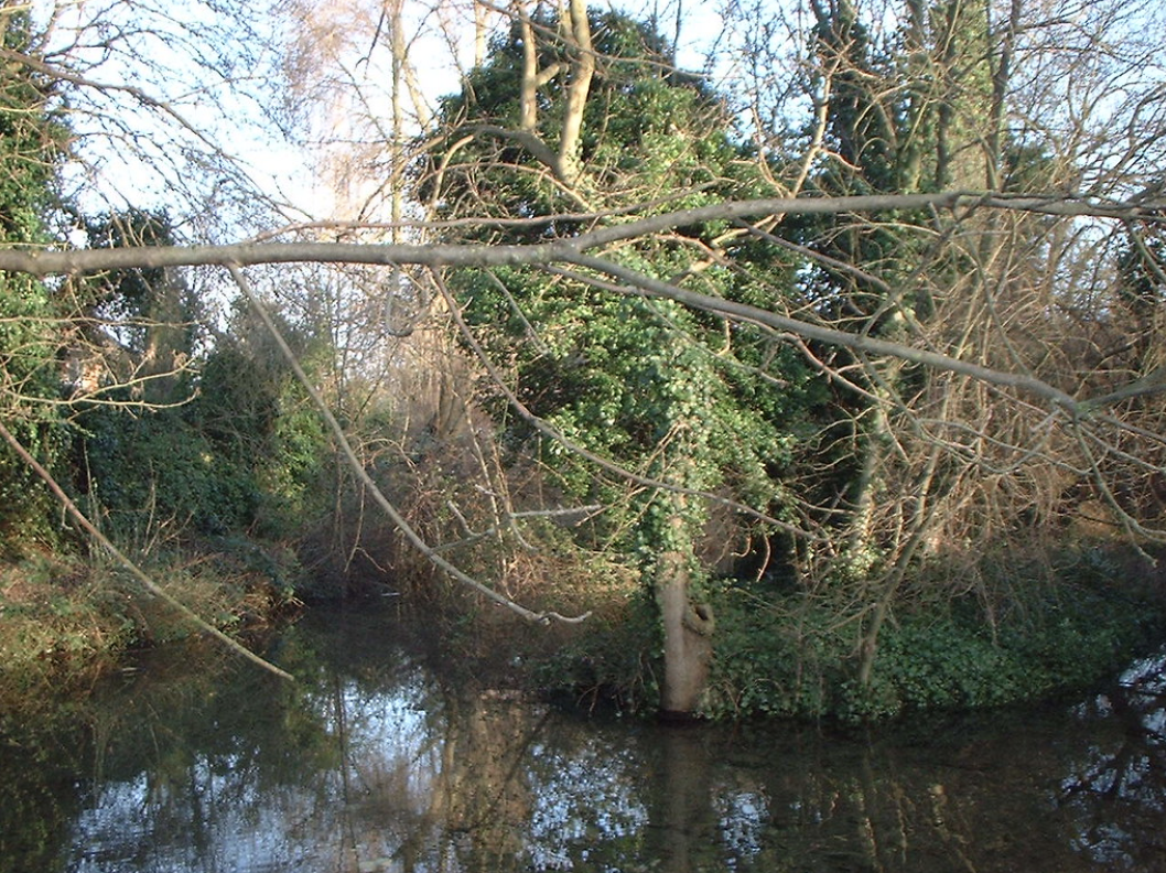
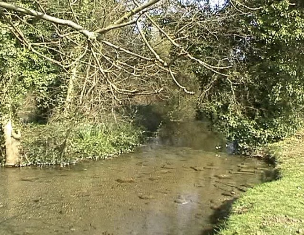
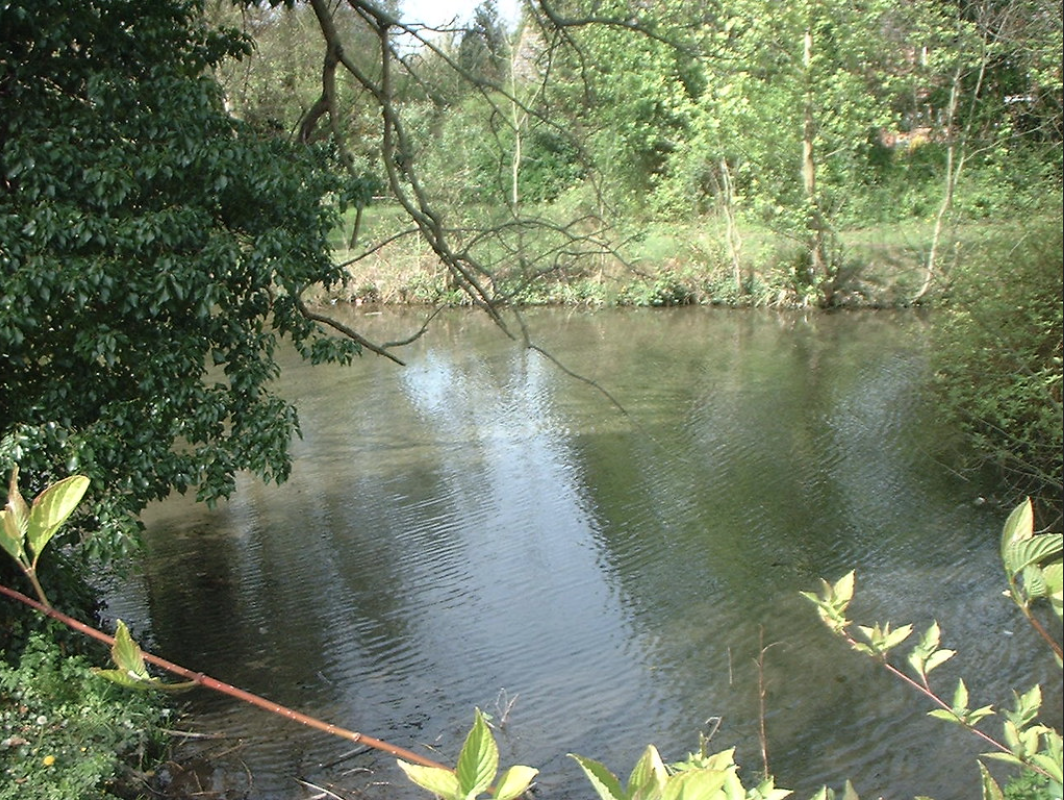
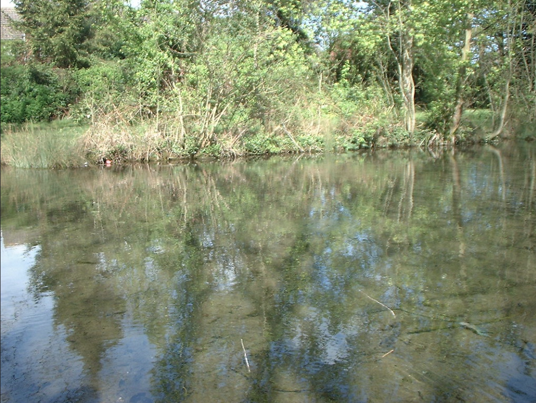
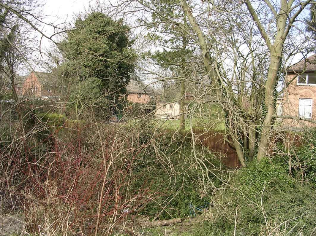
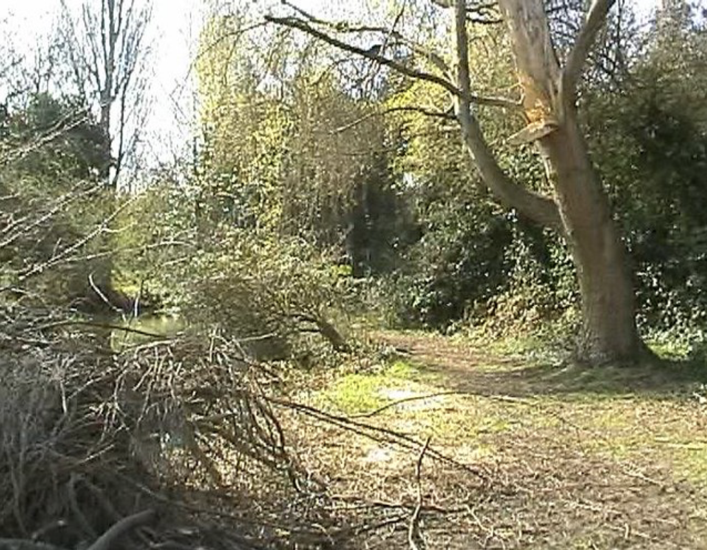
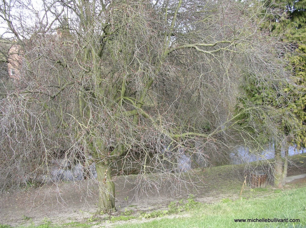
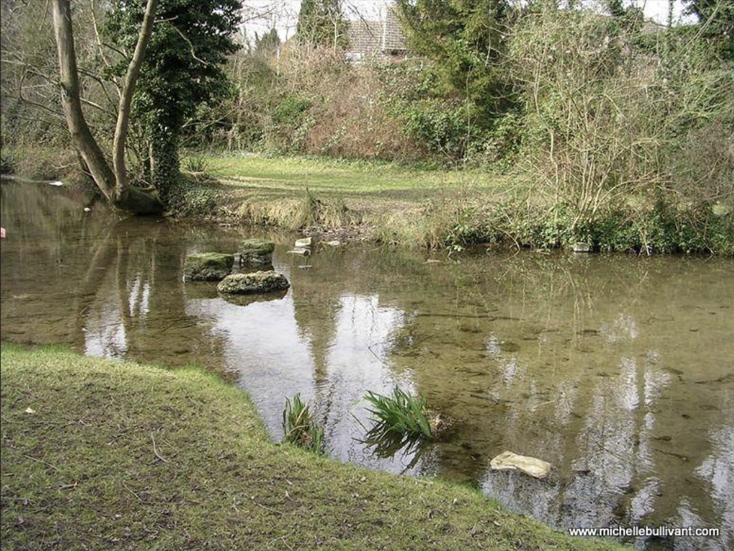
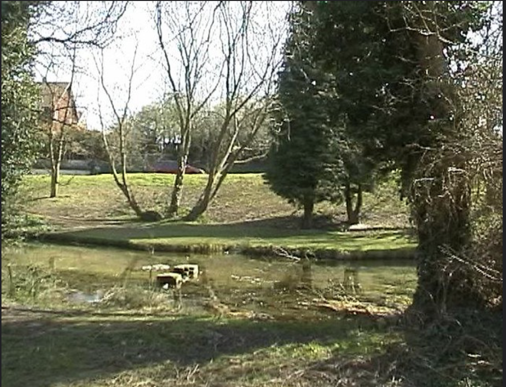
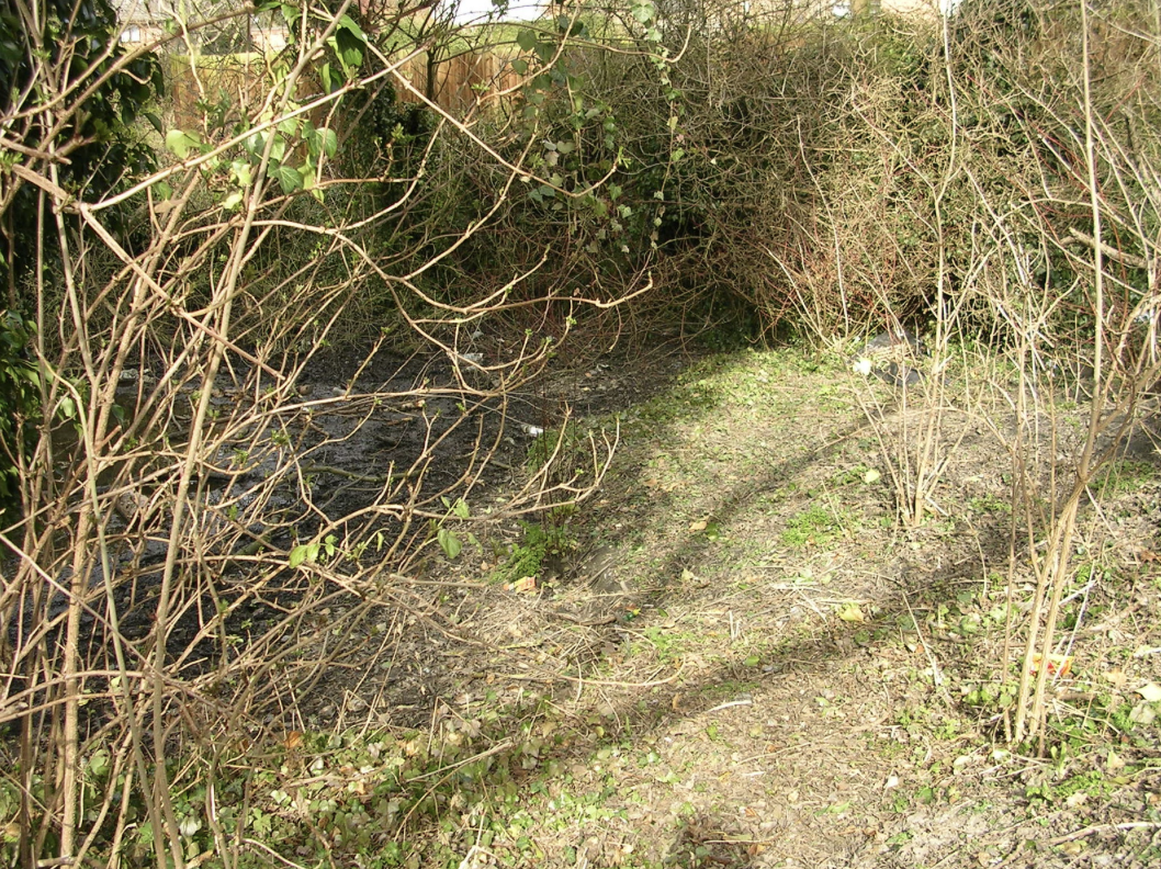
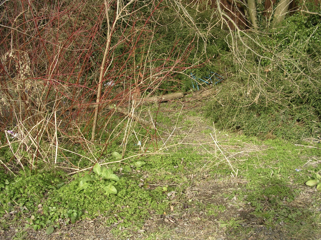
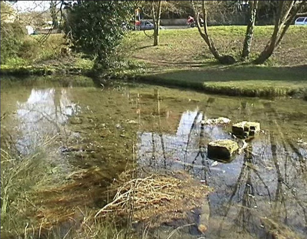
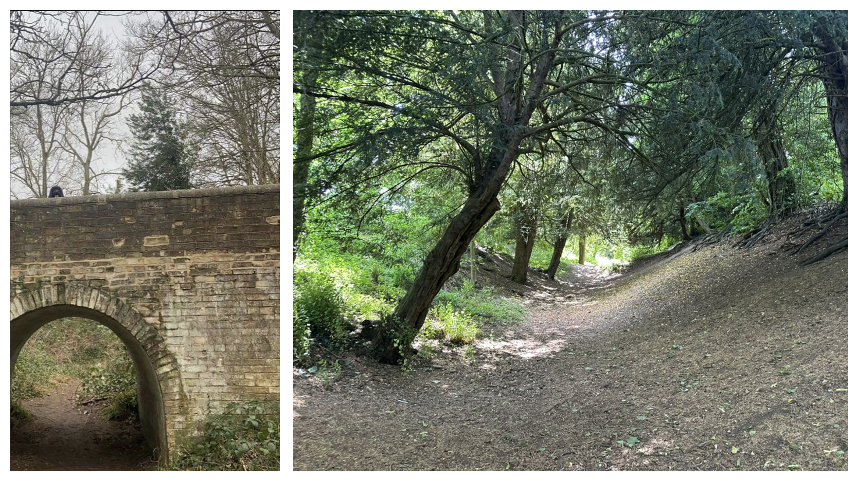
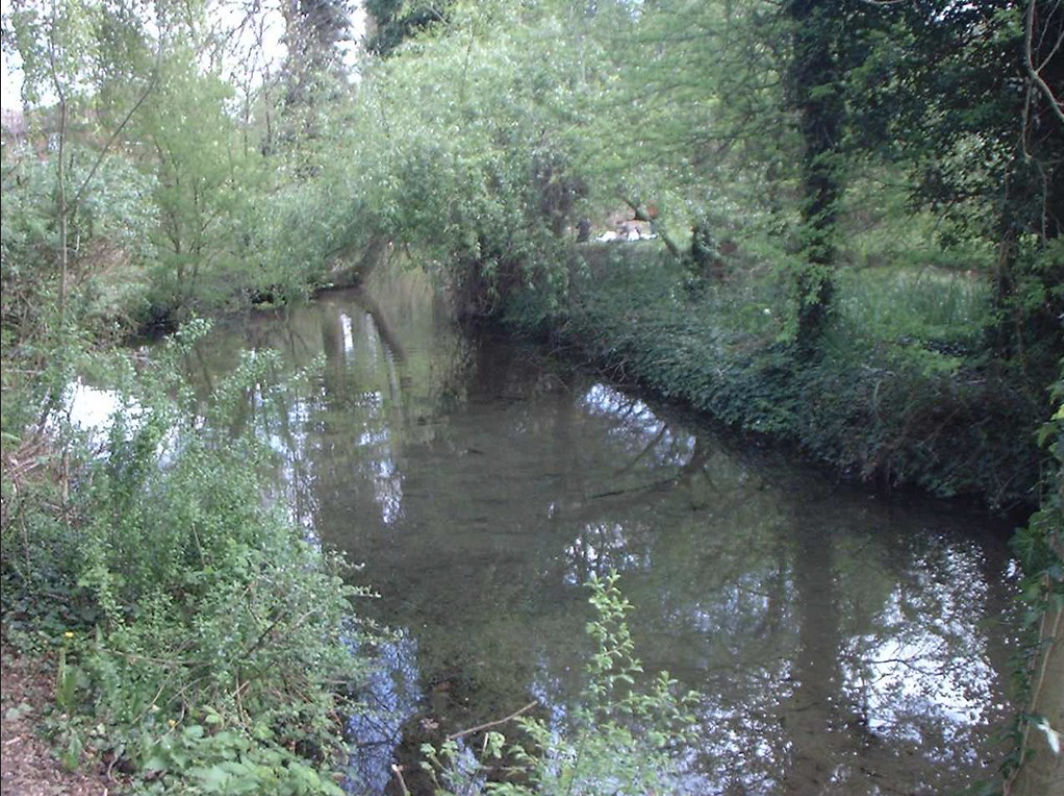
You could easily drive past without knowing it is there as it sits in a deep depression in the ground, surrounded by greenery and trees, where you will find a large spring pool with a small island at its centre.
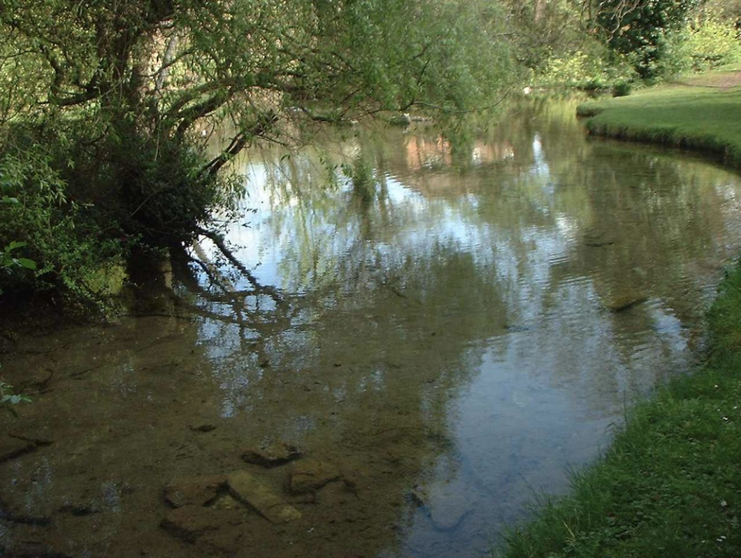
The spring here feeds Hinton Brook, part of England’s rare chalk stream landscape - a globally scarce freshwater environment.
The site is managed by Cambridge City Council for the people of Cherry Hinton and comes under the support of The Friends of Cherry Hinton Hall and The Friends of Cherry Hinton Brook.
I have added below the brief history of Spring Head/Giants Grave that Graeme Clarke and I wrote back in 2003 (went we ran a small archaeology consultancy called Active8 Archaeology), and I have added a few pictures in to help make it a little more visual - most of it still holds up well but I will add more here later when the new updated version is published.
Below this you’ll find the original Giants Grave leaflet that we produced, the 2 reports from the excavations and historical research, along with the photo gallery of the dig and other pictures.
A Brief History of
SPRING HEAD / GIANTS GRAVE
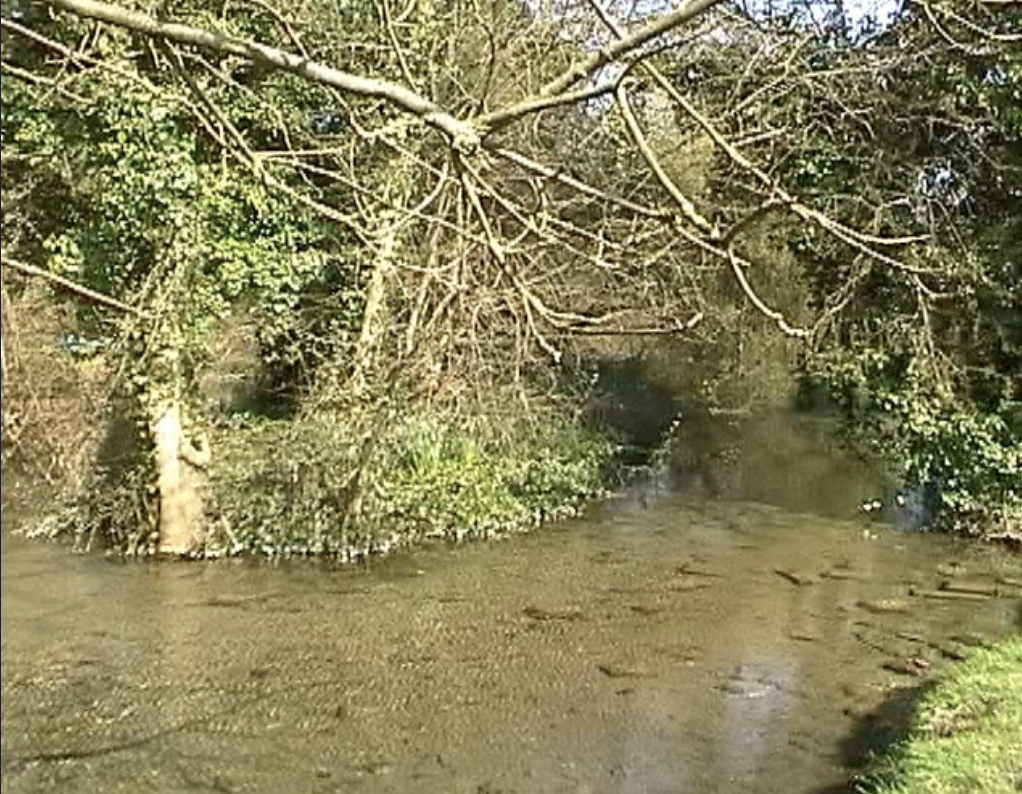
The large Spring pool opposite the Robin Hood Pub at the main crossroads into Cherry Hinton village is a very interesting place. Some villagers call it the Spring Head others call it the Giants Grave. The spring head name is easy to understand - it being a natural spring head which forms a large pool that then turns into a brook called ‘The Hinton Brook’. This in turn flows through the grounds of Cherry Hinton Hall, onwards through the Sainsbury’s car park (at the corner of Coldhams Lane and Brooks Road) and outwards across Coldhams Common to join up with the river Cam at Stourbridge Common, just off of Newmarket Road. But the strange name of Giants Grave is steeped in mystery.
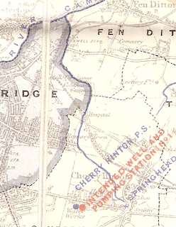
Cambridge Water Works Map c.1890
Showing the Hinton Brook flowing from Spring Head to the River Cam.
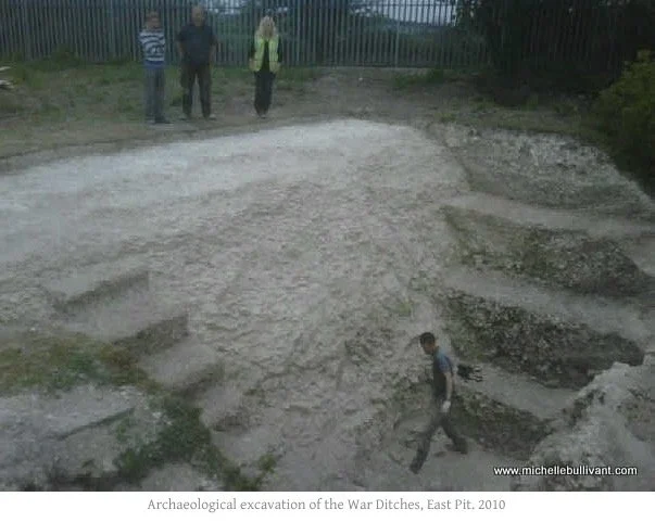
The spring head lies at the base of the Gogmagog Hills, it is an area rich in archaeological remains. There are many ancient prehistoric routeways lined with burial mounds, most now ploughed flat. Two very notable sites of prehistoric activity in the near vicinity are the large circular enclosures of Wandlebury and the War Ditches. [You can read more about the War Ditches HERE and you can find out more about Wandlebury HERE.
The proximity of the large spring, a natural water supply, to the major prehistoric and roman sites on the hills above, makes Cherry Hinton’s Spring Head a very important place from the very earliest times and it is one of the most important factors in the settlement of Cherry Hinton growing where it has.
During the prehistoric and Roman period, the spring would have had an important ritual and spiritual significance. Springs were places where the underworld communicated with our world and would usually have been associated with female deities such as Sulis, as at Bath. Sacrifices and offerings were offered to springs, or rather the deity it represented. The Romans continued this tradition often changing the deity. It is worth considering the ritual significance of Spring Head during the prehistoric and roman period, especially since it is such a large and important spring surrounded by features of important prehistoric and roman consequence, such as the War Ditches at the very top of Lime Kiln Hill.
At Domesday in the 1086 entry for Cherry Hinton, four watermills were recorded in Cherry Hinton parish. These water mills, would have been powered by the water flowing from Spring Head, in the Hinton Brook. We know from research that at least one of these watermills once stood within the grounds of what is now Cherry Hinton Hall lakes area. [I will be adding more information about the lost watermills excavations and research here very soon]
Cherry Hinton’s Spring Head has done much to focus medieval settlement around the villages Mill End area and has greatly affected its economy as well as the land use of its surroundings up to modern times. A source of clean and readily accessible water was as important then as it is today. Water for the villagers and their livestock has always been its primary use. The spring itself was public property for the benefit of all.
When documentary evidence for the spring first appears, it is situated by the village green. A map from 1733 drawn by John Tracey shows the land immediately to the north and west of Spring Head in the hands of Walter Serocole Esq. This land is described as being for pasture, and on the map is a series of irregular open spaces edged with rough, bushy ground.
In 1758 Walter Serocold became the rector of Cherry Hinton Church. Rectors of Cherry Hinton Church were often Fellows of Peterhouse College, which owned much of the land in the parish, including Rectory Manor (which lay somewhere in the area of the current High Street shops). By 1789 Walter Serocold had passed away, as there is a new rector recorded. The draft enclosure map of 1806 shows Walter Serocold’s land had become a Rectory Glebe and was copyhold land held by John Green from Rectory Manor. Walter Serocold seems to have left the land around the west and north of Spring Head to Peterhouse College when he died.
A Back Street lead from the Spring Head to the village green. On the springs northeastern corner stood a pound.
Painting of Cherry Hinton 1917 - view looking at the junction of the High Street and Mill End Road, showing the sign of the Red Lion to draw people down Mill End Road to the pub. The village pound is the building on the right. (Michelle Bullivant Archives)
Village pounds played an important and public part of village life. Pounds were placed in public places, on the High Street or at a crossroads and often on the green. They were used for the locking up of criminals, drunks and vagrants and were usually small, sturdy and square structures. The pound is also described elsewhere as a Pinfold and as such was a place where stray animals were locked up and where manorial court records were posted to settle disputes and issue fines.
Livestock would be kept under watch on the village green near to the convenient watering place of Spring Head. It must be speculated whether Walter Serocole allowed access to commoners onto his side of the spring. The land use around the spring can be said to have been uniform pasture around this time. The Spring Head with its ready supply of fresh water, the surrounding Green and Pinfold could be seen to be a tremendous focus for the development of Cherry Hinton’s Mill End area, as opposed to the Church End are in the north which had its own spring and green, giving the village a polyfocal settlement pattern (This meant that there were at least two separate settlement areas to the village - these were later joined in the large village we know today due to drainage and the coming of the railway which helped pulled the two settlements towards each other.)
At the end of the 1700’s R. Relhan painted an interesting scene of Cherry Hinton’s Mill End. The painting shows a view looking down from the old Shelford Way (Lime Kiln Hill) towards the Mill End with its buildings, land, and a body of water - the Spring Head. It captures some of the changes in land use and land ownership which has occurred.
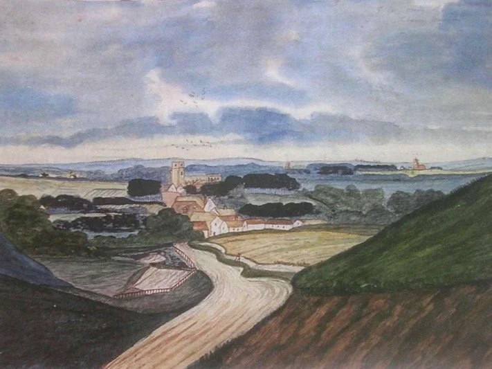
Relhan’s painting of Cherry Hinton c.1800, looking down from Lime Kiln Hill towards the village. (CUL)
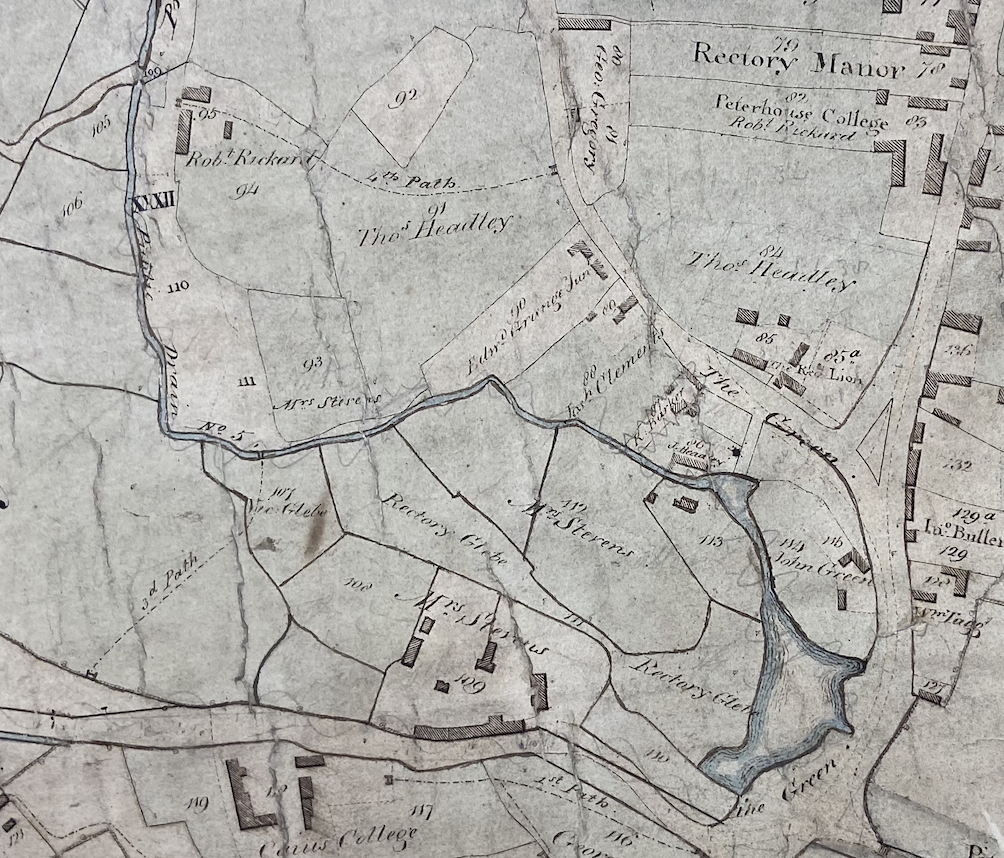
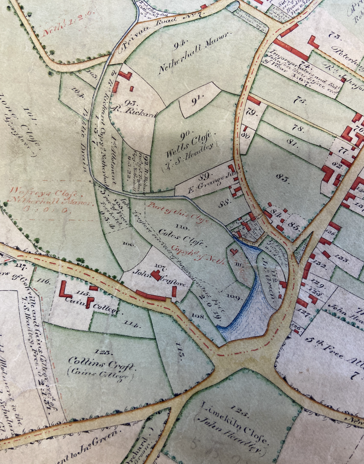
The pre enclosure map from 1806 delineates some of the old land boundaries and land use of the later 1700’s. The vicar of Cherry Hinton holds a Glebe, which takes in most of the land to the west of the spring, on behalf of the community. The public would use this land for pasture and the watering of livestock perhaps on the same basis as for the rector Walter Serocole. However, encroachments on public ownership and access to the Spring Head had taken place by this time.
John Green bought the land between the northeast of Spring Head and Mill End Street (the modern High Street) by auction on September 25th, 1788 at the Cardinals Cap Inn in Cambridge. The purchase was described as containing a ‘Homestall, orchard and 3 roods of arable land’. This land includes the ground where the village pound once stood as well as a substantial part of Walter Serocold’s land which once extended around the north side of the spring. The land between the northwest of the Spring Head and the green from this date was then in the possession of the Headley family.
The nature of the tenure of the land is interesting. John Green’s land is a copyhold from the manor of Hinton Rectory. Peterhouse College is renting out some of its land. There is an associated change in land use on the north side of Spring Head with the construction of cottages, homesteads, outbuildings and orchards.
The Cherry Hinton Enclosure Act of 1806 heralded further great changes in the land ownership and usage around Spring Head, especially with regards to common land held. The Rectory Glebe formerly held for the community by the vicar became the property of J. Truslove, a large landowner in the Parish. He became owner of all the lands on the west and south side of the Spring Head. The Glebe became Brooks Close and Coles Close. John Green acquired more land on the north side of the spring at the expense of the village Green. The land immediately to the east of the spring on Mill End Street remained a public routeway where the villagers could still access the spring. Land use had changed significantly. Orchards came into fashion and surrounded the Spring Head on J. Truslove and John Green’s land. Homesteads and cottages were established on John Green and the Headleys land. Public access and rights to the spring were seriously eroded by the landed gentry. The common land, green and the glebe disappeared in little over seventy years. Perhaps a sense of conscience to this fact stimulated J. Headley, in the Enclosure Act of 1806,to stipulate that the private road on the north side of the spring leading to his cottage “may kindly be used as a routeway by the public to the ‘watering place’ of Spring Head.”
In the early 1800’s John Okes came to Cambridge follow a career as a surgeon at Addenbrookes Hospital and by the middle of the nineteenth century he had become one of the biggest landowners in Cherry Hinton. He created a parkland estate centered on his house of Cherry Hinton Hall which he had bult in the 1830’s. Around this time he also purchased all the land to the west of Spring Head including the land of John Headly, and the Coles and Brook’s Close by Spring Head belonging to J. Truslove. The land to the west of the spring became private park land.
Cherry Hinton Hall (2009 M Bullivant)
By 1851 the spring was described as ‘an excellent and unfailing spring of water’. The spring was also described in 1851 as being ‘a hollow piece of ground’ and a popular source of water for the villagers.
The next year, in 1852, the Spring Head itself and its immediate surroundings, except to the north, was acquired by the Cambridge University and Town Waterworks Company. It was an act, which greatly changed the use of the spring again. The land bought to the west of the spring from John Okes, was bounded by a line of tree stumps by Springfield House (Springfield house still stands today on Cherry Hinton Road.) It would now be used for the benefit of the city of Cambridge and its growing need for a clean water supply. John Okes had also secured a set amount of water from the spring each day for his ornamental fishponds at his Hall lake area. Pipes were installed leading from the spring to Reservoirs built on the crest of Limekiln Hill. The project was completed in 1855.
Orchards were going out of fashion by the later 1800’s and it must be speculated to what extent the land immediately surrounding the spring was affected. A productive orchard was still in use on John Green’s land which was later occupied by a Mrs. Hart in 1857. This land, garden, orchard and tenement, which contained a carpenter’s shop and barn, was auctioned on August 7th 1857 from the manor of Hinton Rectory. Further evidence for this land use was discovered earlier this century with the uncovering of an old saw pit just to the north of the Spring Head while building a house.
From the 1870’s to the 1930’s the Spring Head was occasionally used to supply water for the local steam traction engines. Mr. Emson was listed as a Traction Engine and Threshing Machine proprietor from 1879 to 1896 when G. Pamplin took over and established the Pamplin Bros. firm in 1900.
Pamplin’s Threshing Tackle at 50 High Street Cherry Hinton, Albert Anderson on Engine. (Courtesy of Richard Hoye Collection at Cambridgeshire Collection)
Until the early 1900’s a village smithy was in use which stood on the edge of the village green land immediately to the northeast of the spring. This building can still be seen today and was a garage for some years.
Cherry Hinton - The Old Smithy (M Bullivant 2005)
Many of the women washed the Cambridge students’ clothes and a famous laundry industry built up in Cherry Hinton. This became one of the main occupations for women in the village. Spring Head supplied the water for this industry which eventually died out in the late 1800’s. [You can read more about the Steam Laundry HERE]
For the parishioners of Cherry Hinton, the spring had now passed out of their hands. The brook issuing from the spring remained a public drain. An ordinance survey map of Cherry Hinton in 1904 shows the spring as an enclosed piece of ground, with an island and a short track leading down to it from the High Street on the small piece of ground on its northeastern side, now belonging to the Waterworks Company. This is confirmed by a photograph of the Spring Head from 1901.
Cherry Hinton Spring Head c.1901 from an old postcard.
In 1941 the Waterworks Company handed over the springs and the reservoirs to the Cambridge City Council with a clause that the site was to be preserved for public use forever.
Housing development to the north and west, and road improvement schemes on the south and east sides have continued to encroach onto the spring green this century, affecting the topography and profile of the site. However, Cherry Hinton Brook is the only visible watercourse in the parish to survive into modern times.
The spring itself and its immediate surroundings have been made into a pleasant and secluded public park with the continuing tradition from an unknown source that the Spring Head site is the mythical resting place of the giant Gogmagog. Much research has been carried out to find out how the Spring became to be known as Giants Grave but little documentary evidence has come to light, most is oral tradition. However, the prefix ‘Giants’ to any particular monument is a common one used during the 1800’s (e.g. Giants Hill at Rampton). It is possible that somebody in the past discovered an ancient burial near the site and the name Giants Grave was produced. Although no documentary or archaeological evidence has been found to support this it is not unlikely that this was the case. The spring site would have been an important ritual focus in the past. With the tradition of Gogmagog and tales of giants rife in the 1800’s, along with the discovery of the War Ditches at Cherry Hinton and ‘large’ skeletons being discovered on Lime Kiln Hill, it gives us an insight to the origin of the place name.
The story of the Spring Head’s ownership, land use, influence and access over the past is an interesting one reflecting Cherry Hinton’s social and economic past.
© Michelle Bullivant & Graeme Clarke - Active8 Archaeology 2008.
The 2003 Spring Head / Giants Grave reports
Historical and Archaeological Investigations of Spring Head Report 2003
Click on the button below for the full PDF of the Historical and Archaeological Investigations of Spring Head Report 2003.
2XL St Bede's School Spring Head Report 2003
Click on the button below for the full PDF of the 2XL St Bede’s School Spring Head Report 2003.
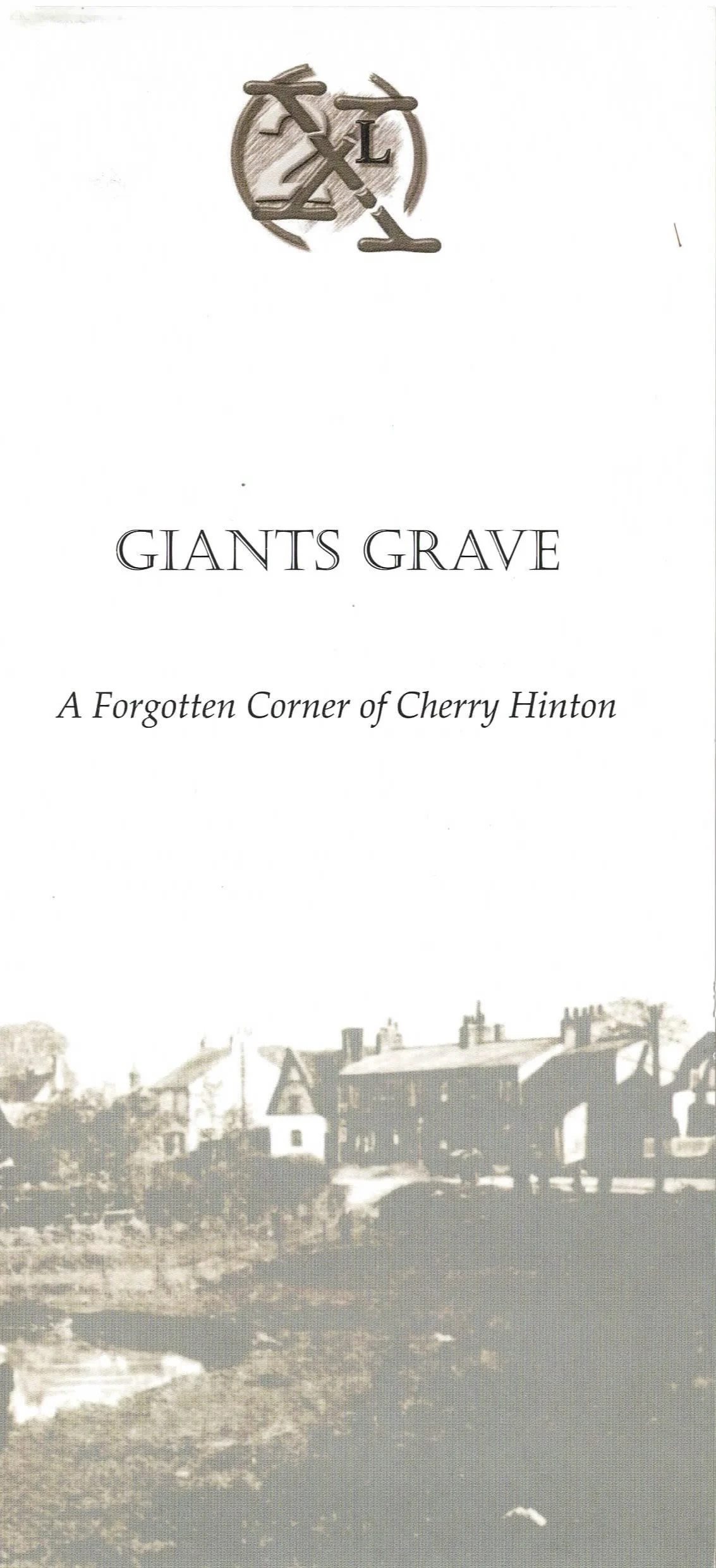
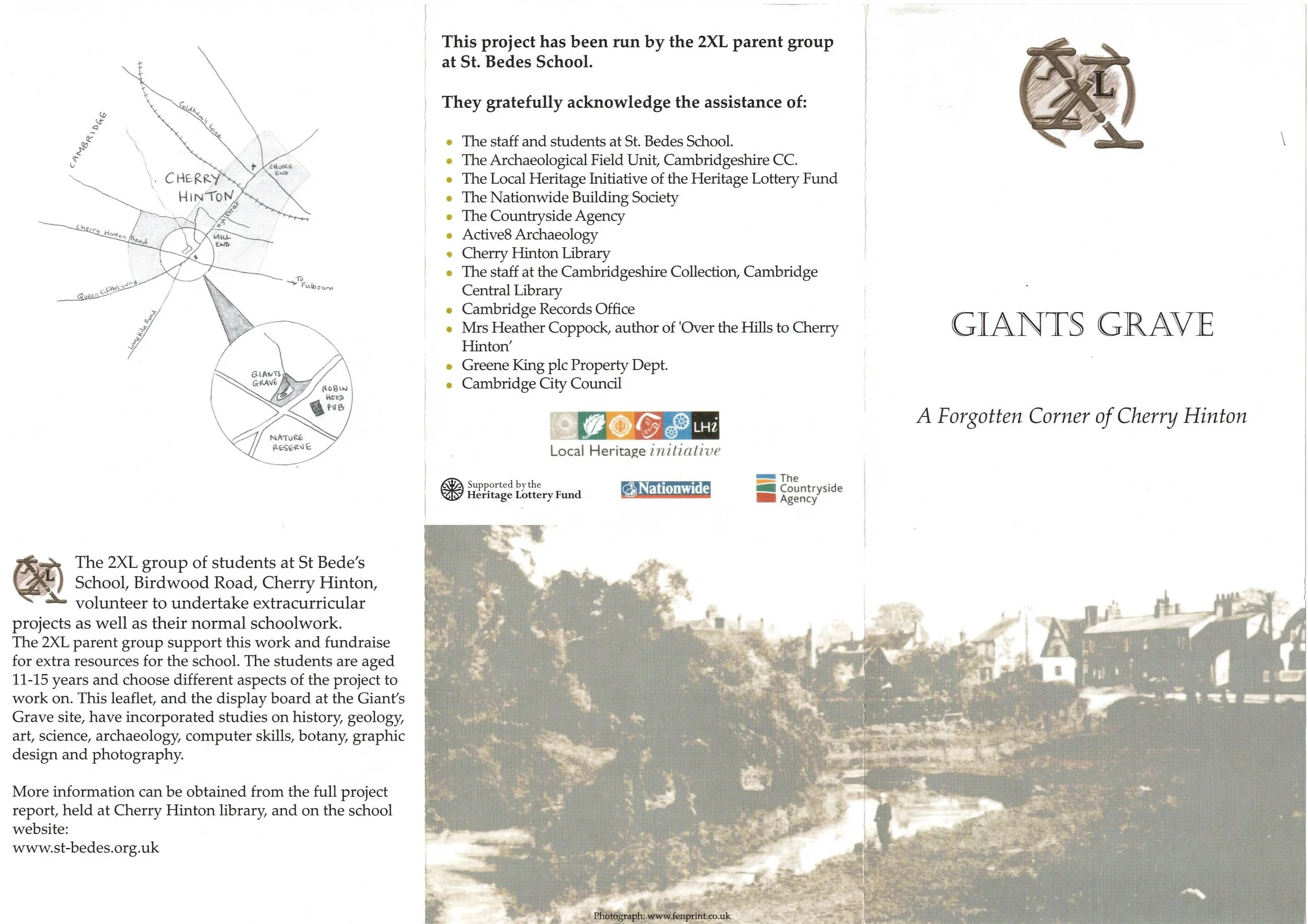
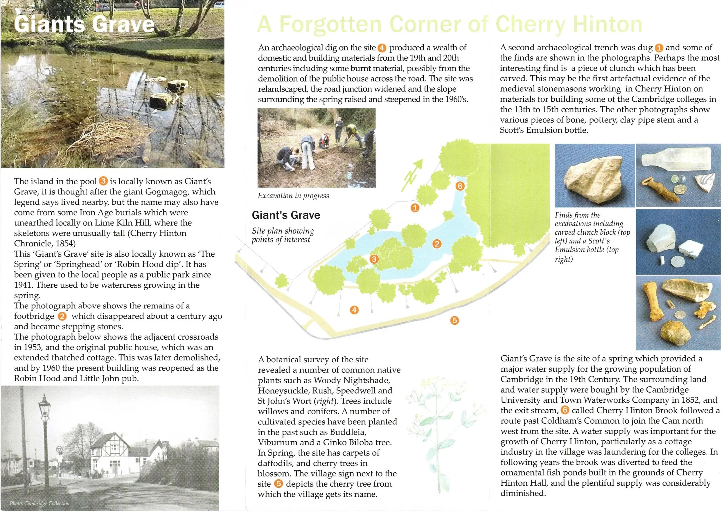
The original Giants Grave leaflet (2003) produced as part of the research and excavation project, alongside the pubic display board.
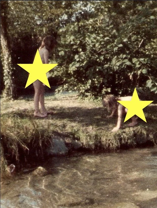
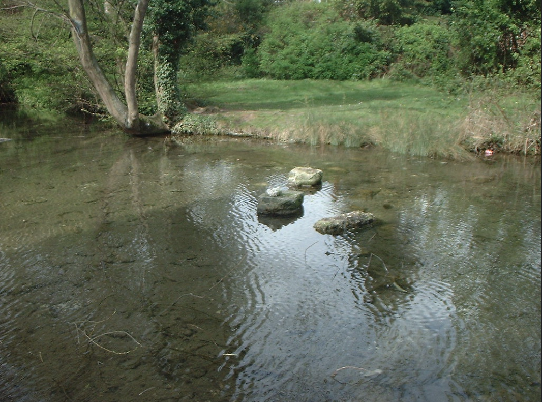
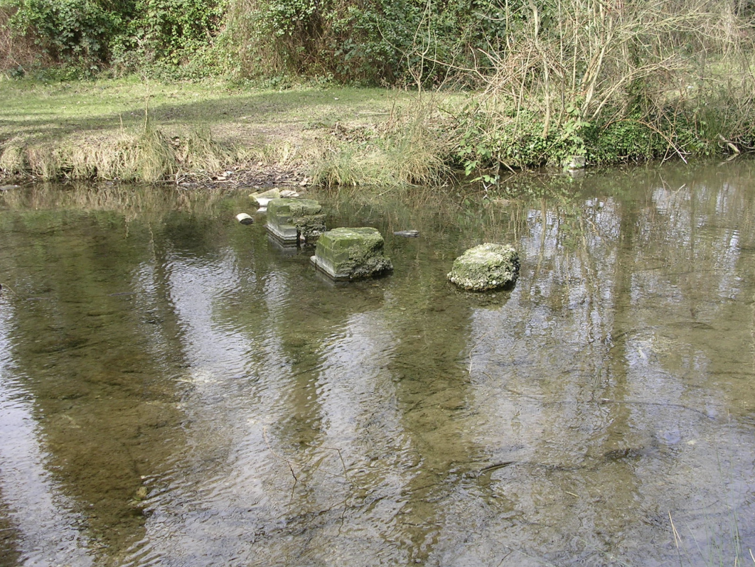
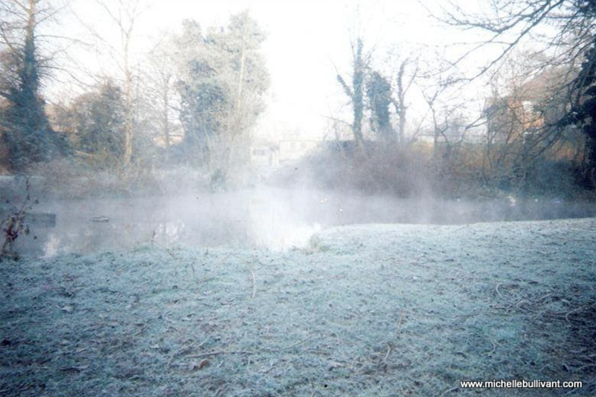
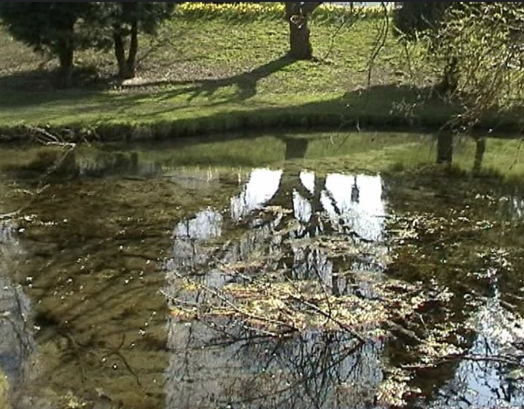
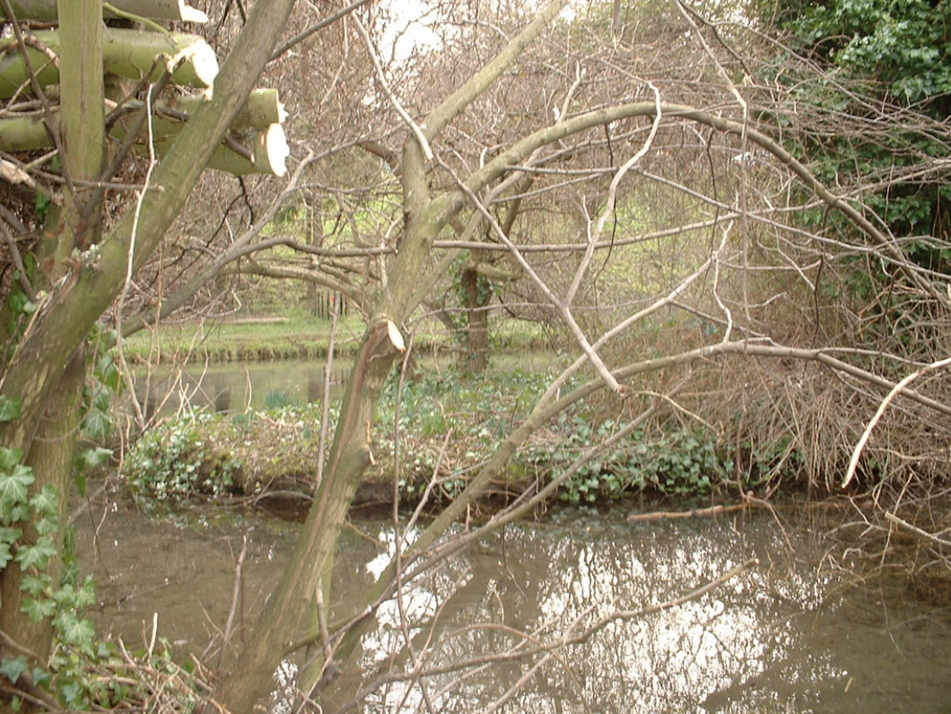
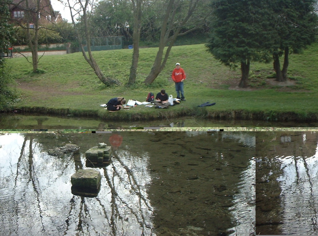
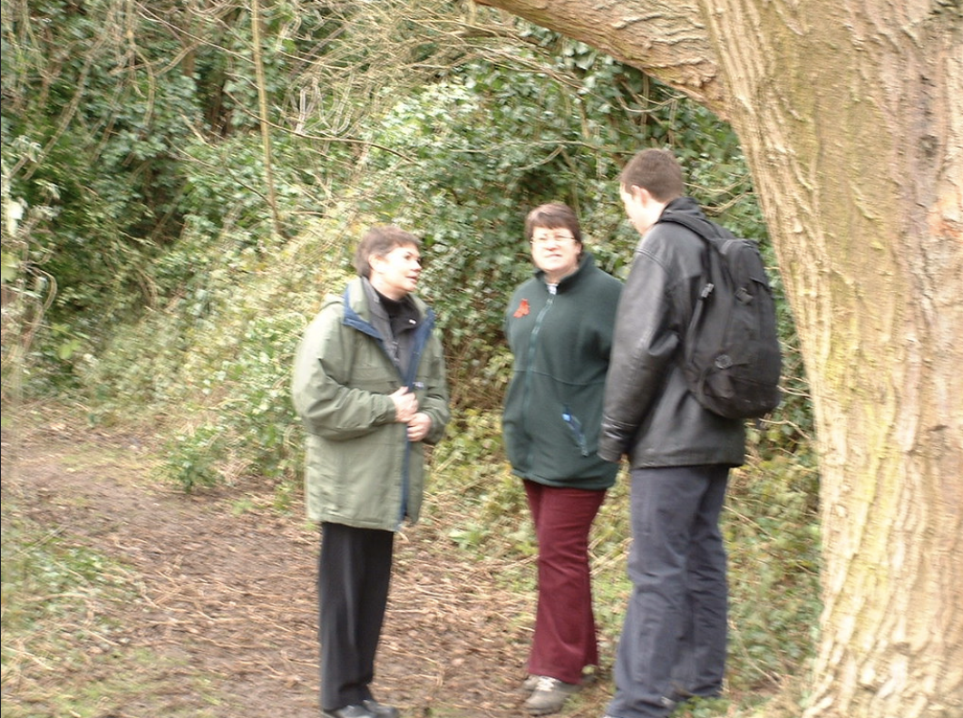
The Spring Head / Giants Grave Photo Gallery
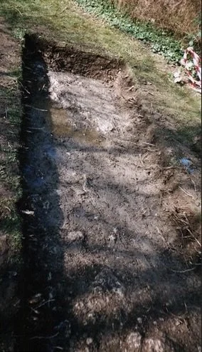
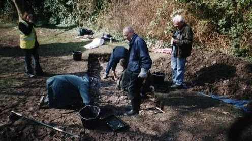
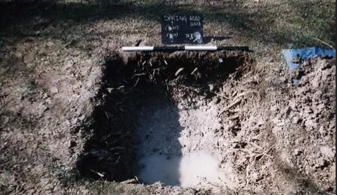
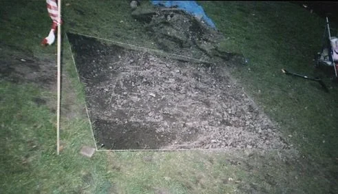
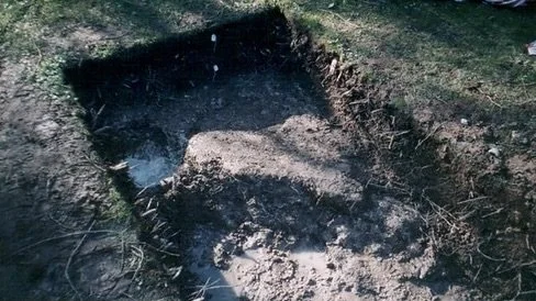
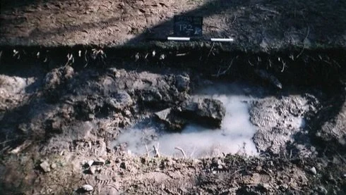
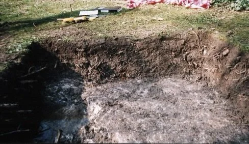
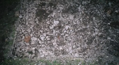
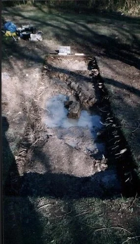
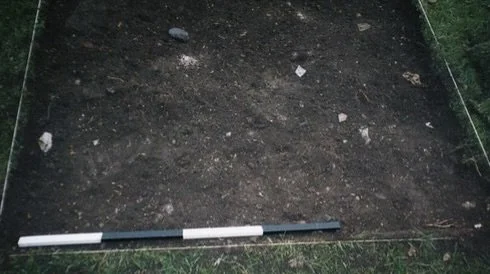
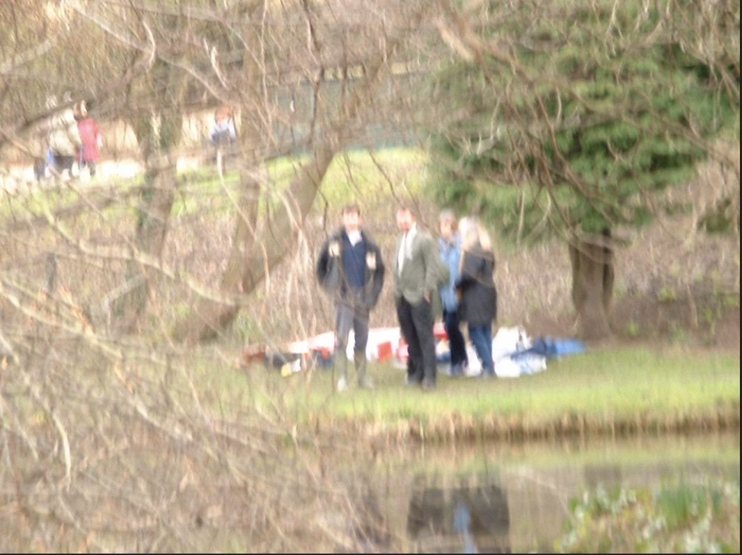
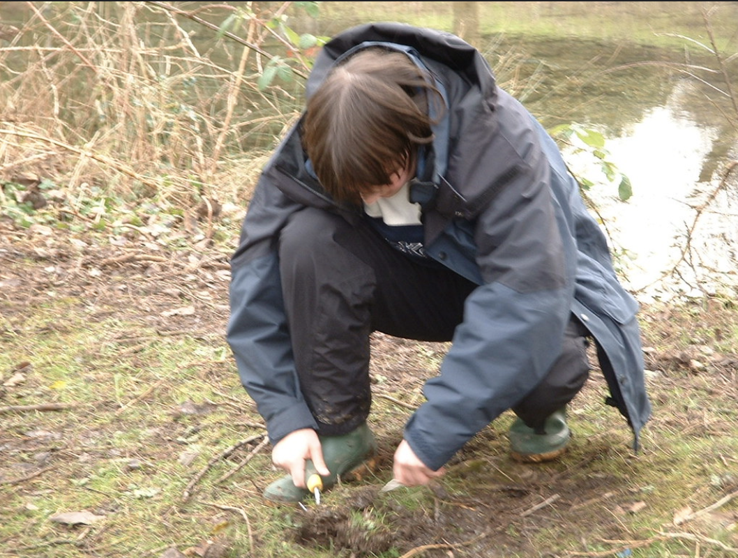
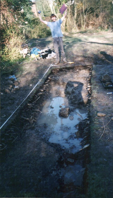
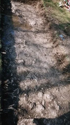
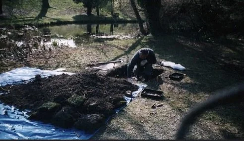
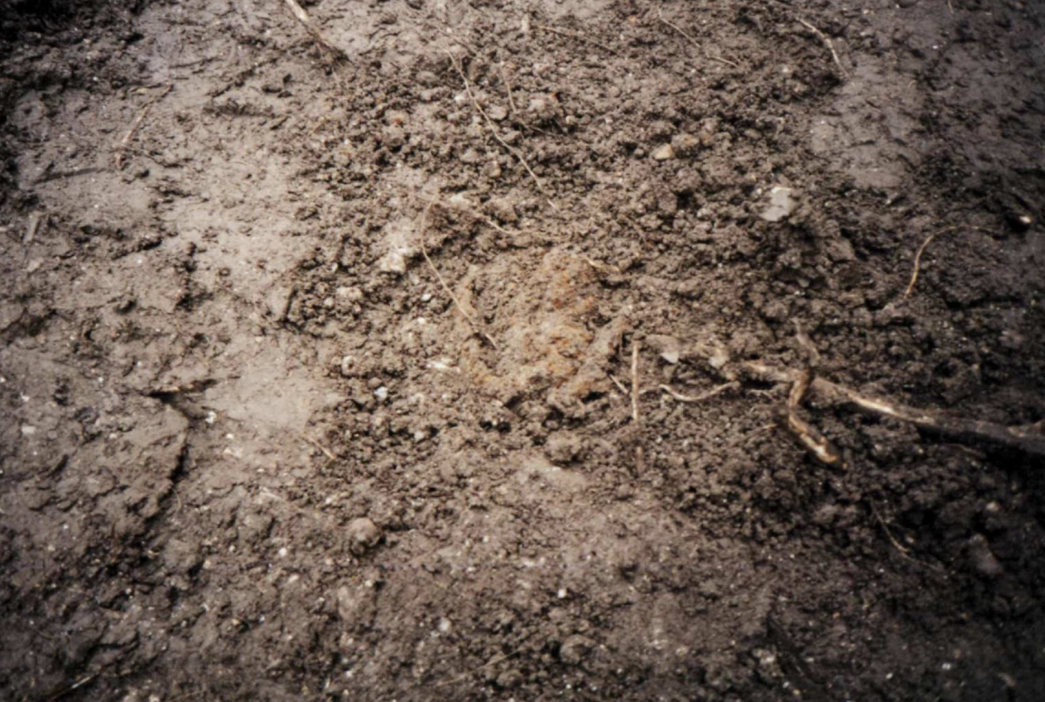
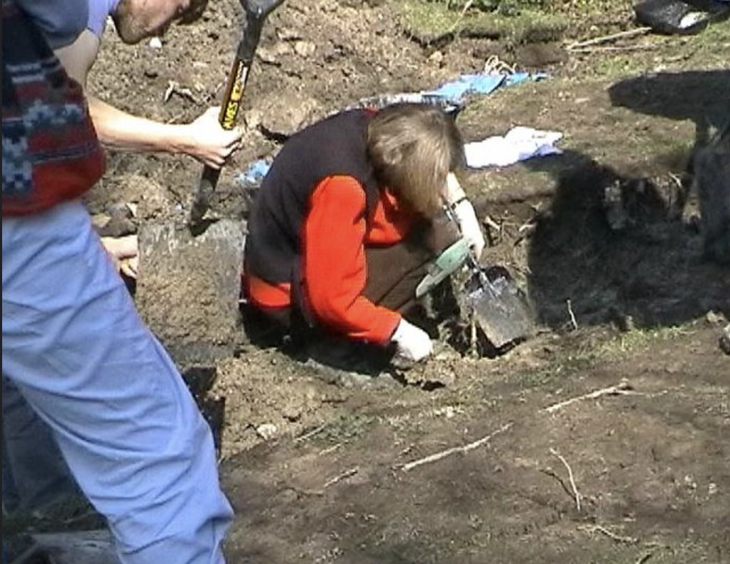
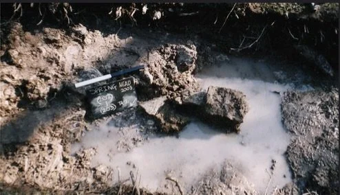
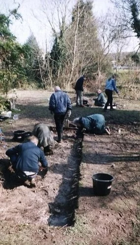
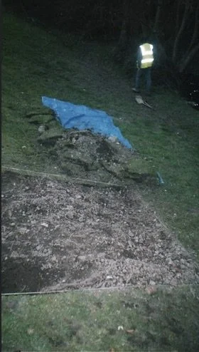
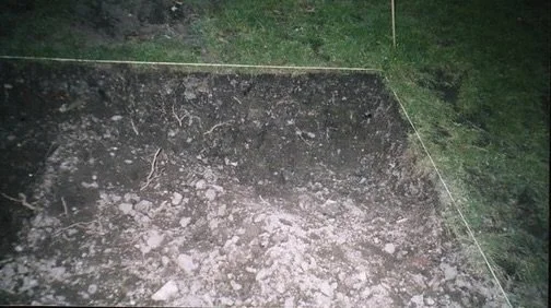
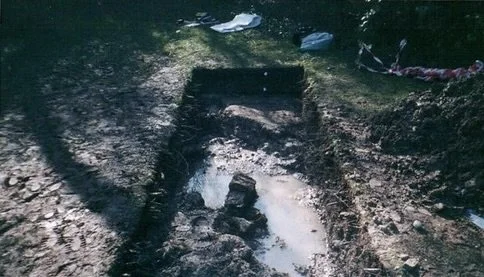
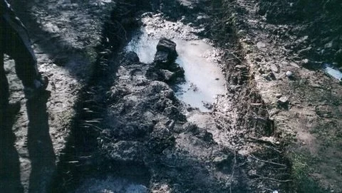
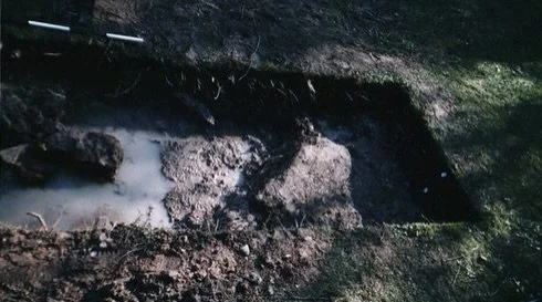
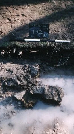
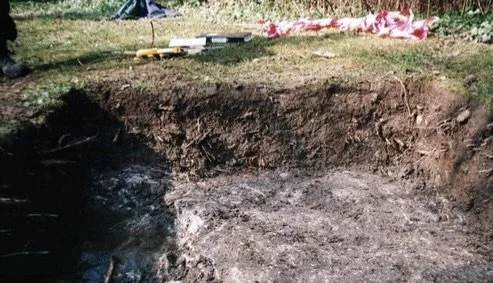
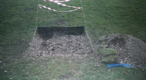
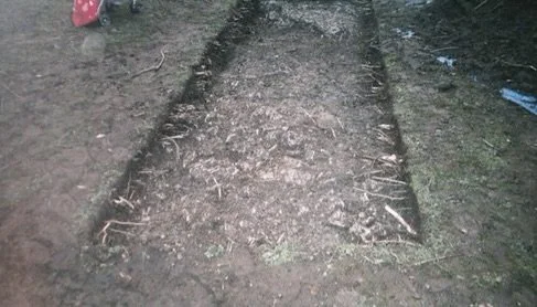
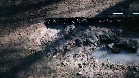
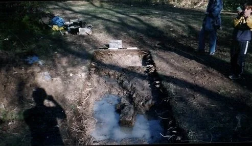
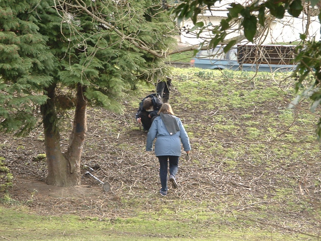
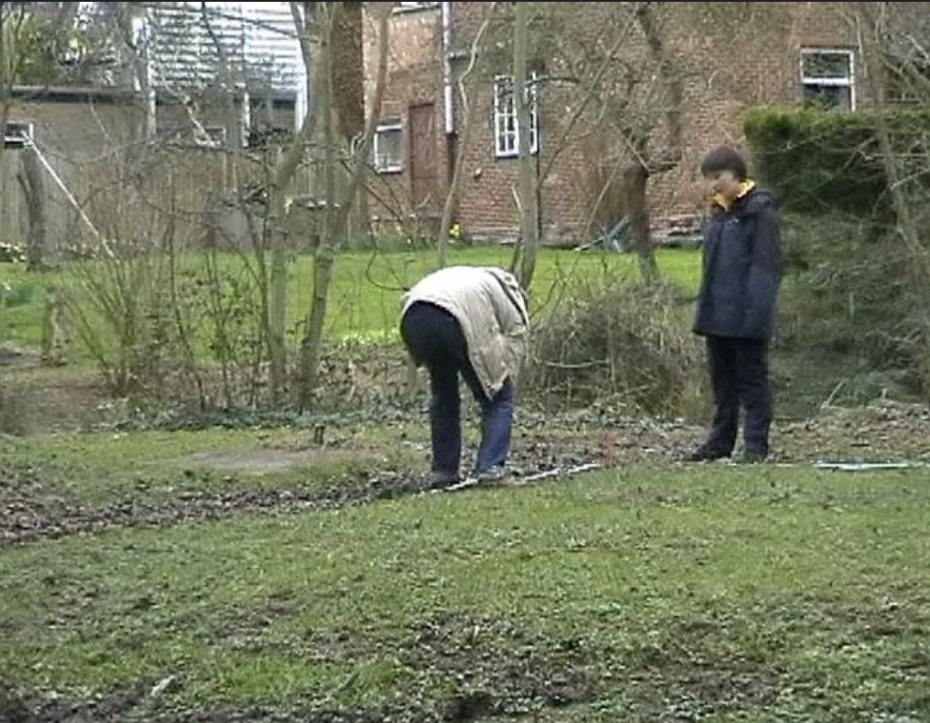
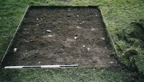
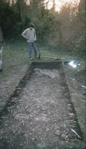
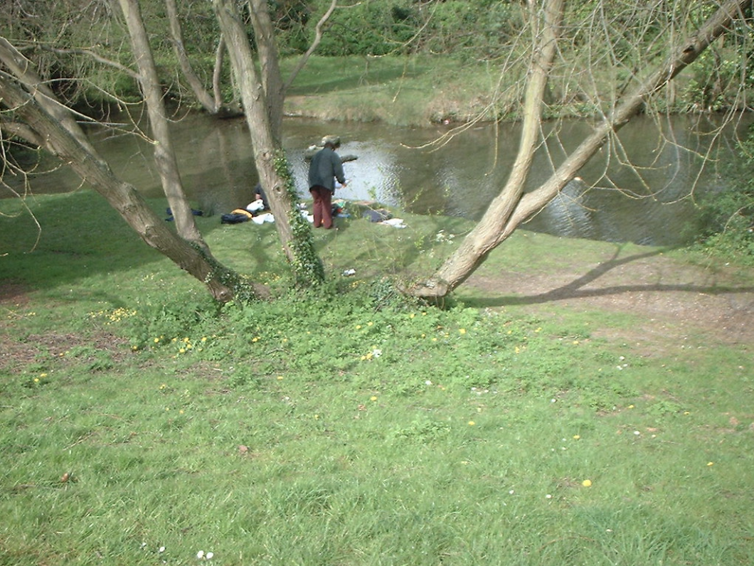
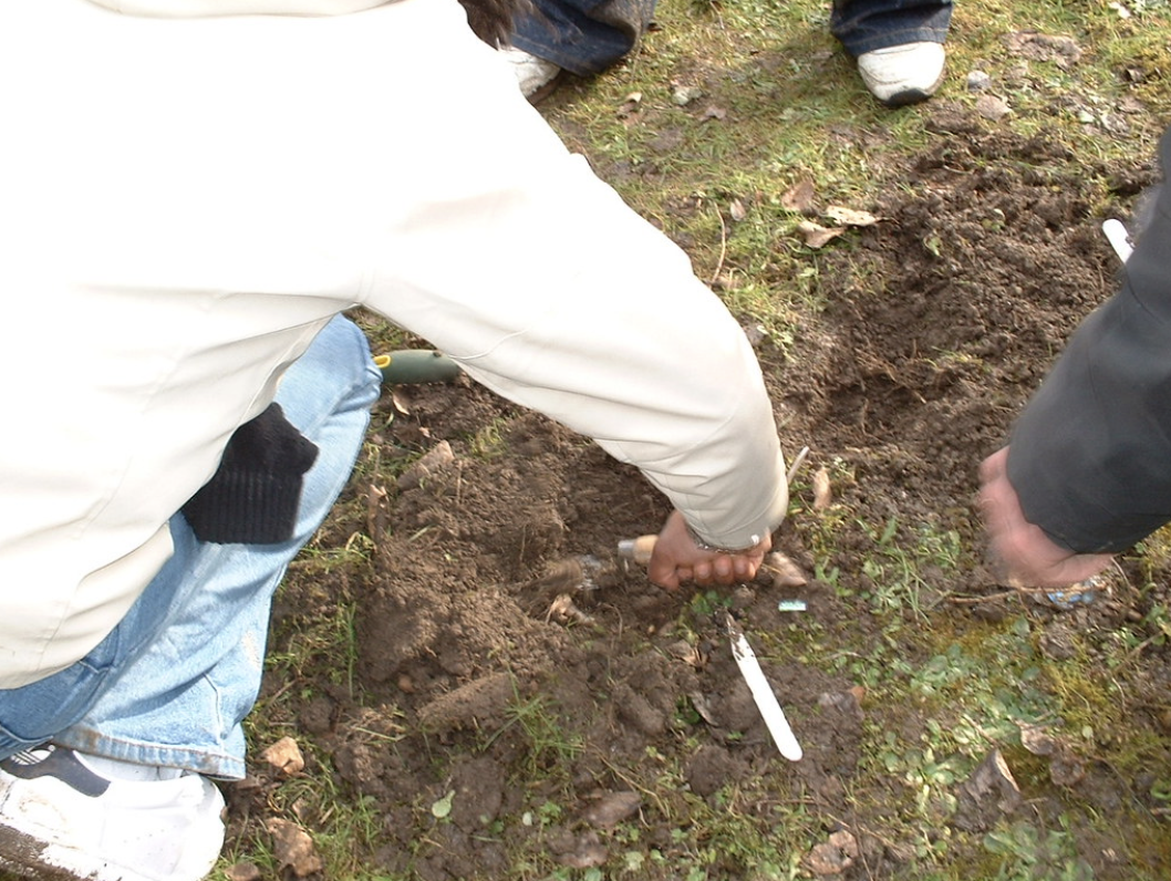
The Spring Head Excavations 2003
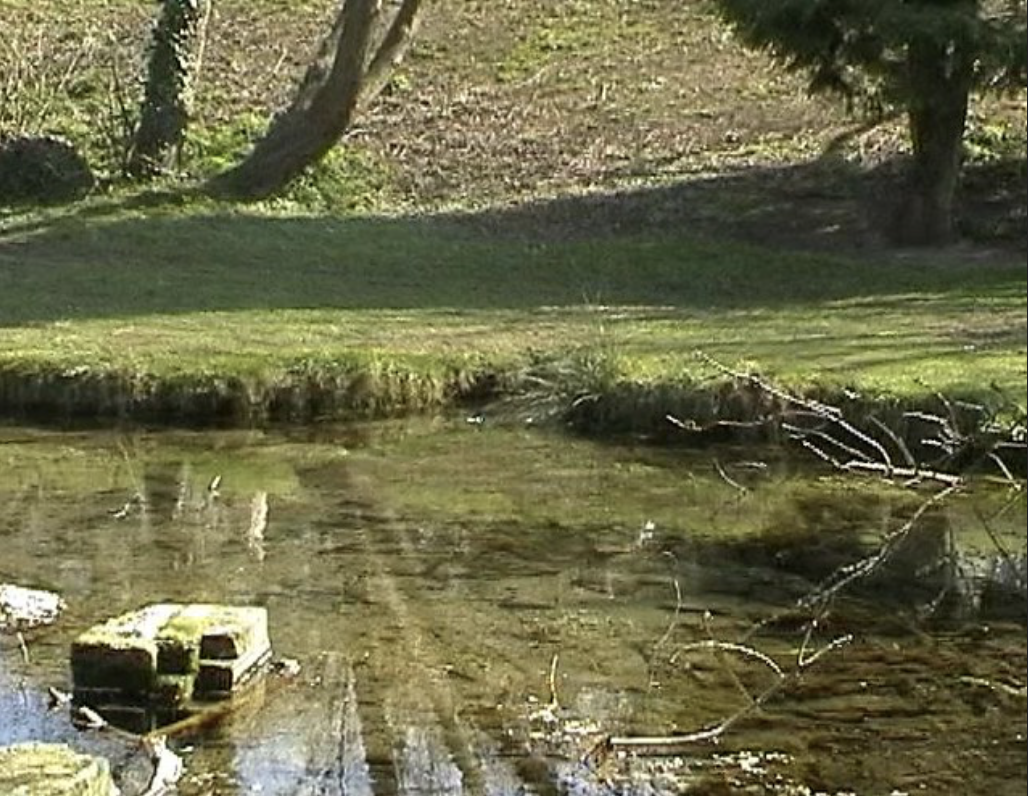
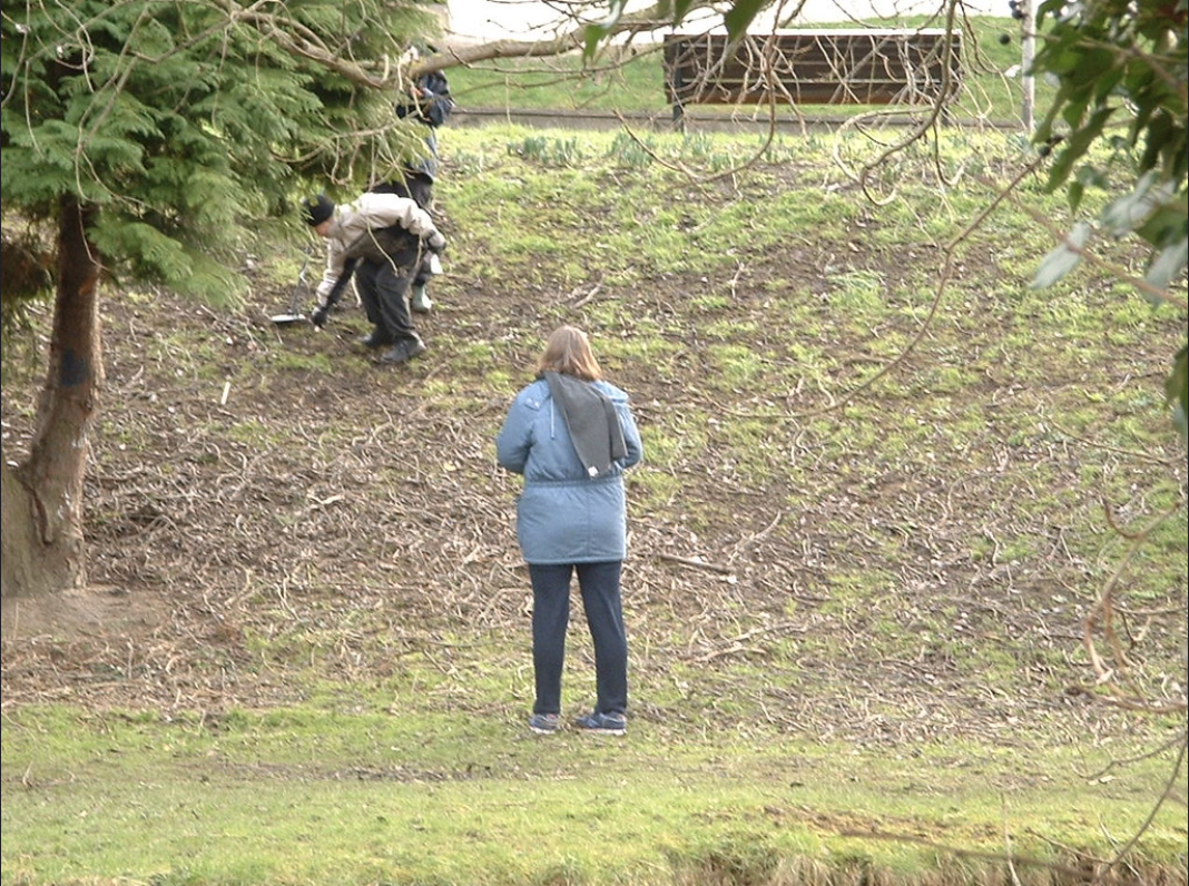
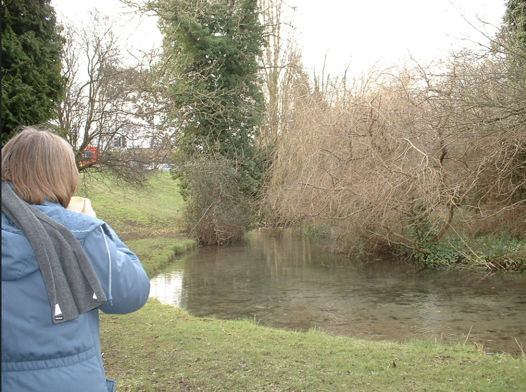
Other pictures of Spring Head / Giants Grave